Today’s video (7 min):
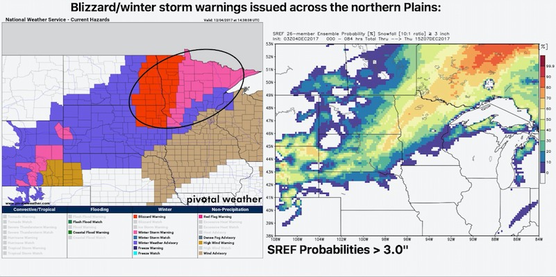
Latest winter alerts across the region (left) and probability of seeing 3″ or greater snowfall (right):
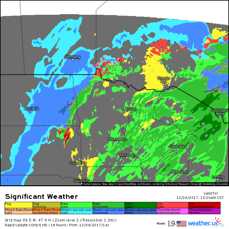
Forecast radar over the next 18 hours:
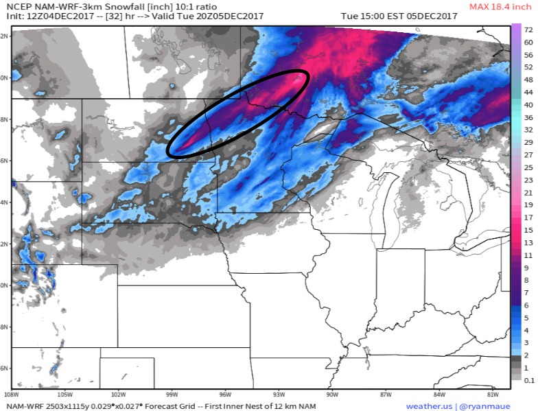
Here is a look at snowfall with this system..models indicating the heaviest snowfall band setting up across eastern North Dakota and northwest Minnesota where 6-8″ with local 10″ possible. Outside of that, it is a general 2-4″.
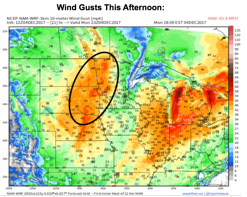
Forecast wind gusts this afternoon…this will create blizzard conditions underneath the snow band and some power outage concern due to wet nature of the snow.