Today’s forecast video:
Simulated radar through 1am Tuesday:
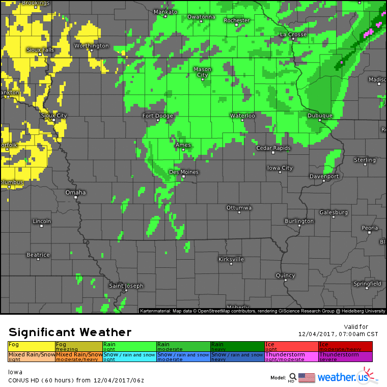
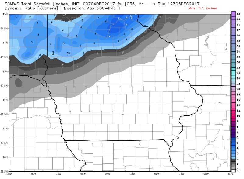
Northwest portions of the state pick-up minor snow accumulations tonight, mainly from a Sioux City to Spencer line and points northwest.
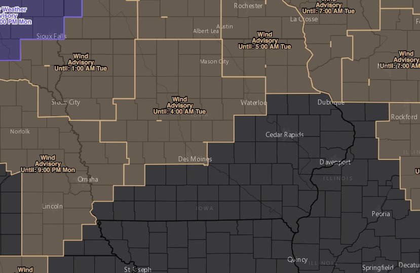
It also gets very windy from this afternoon and tonight, with wind gusts up to 50 mph for the areas under a wind advisory:
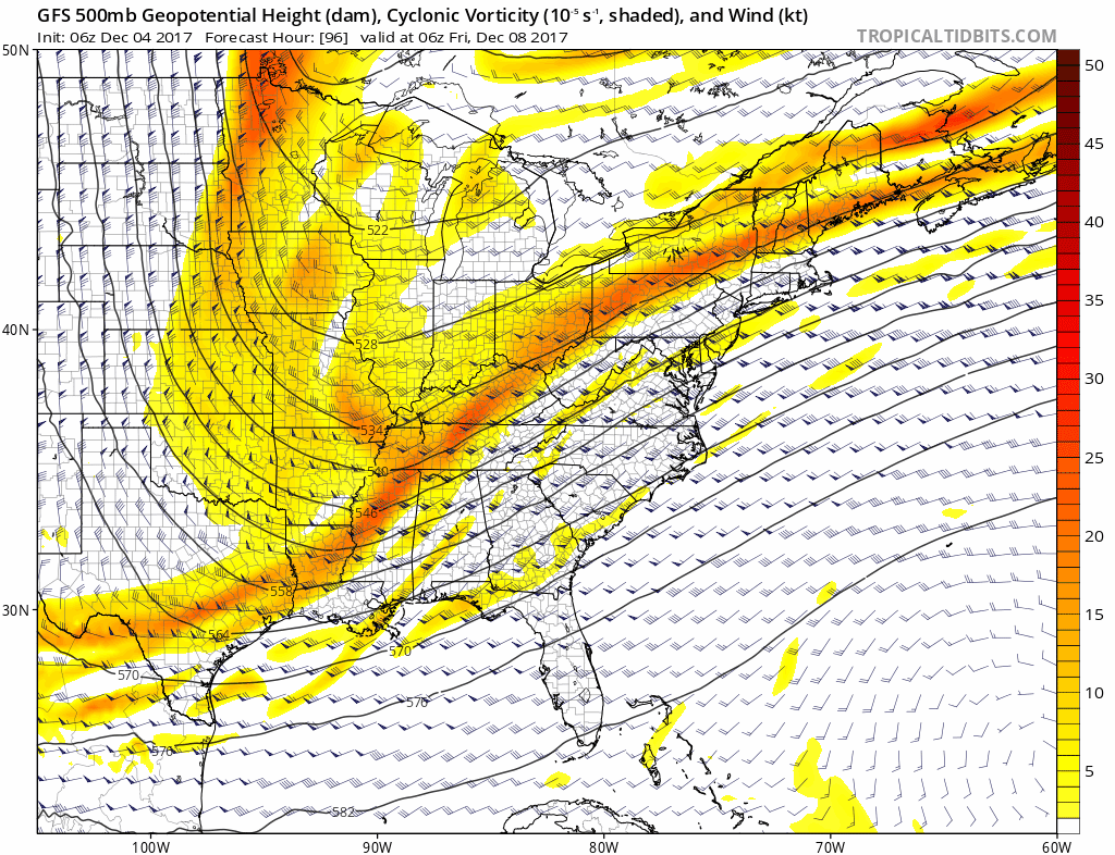
It remains windy through mid-week as we see a transition to a cold pattern. We may see periodic waves of snow showers Wednesday/Thursday, but the coverage will be limited. Watching a stronger piece of energy to dive in on Friday, with a state-wide chance for light snow and light accumulations.
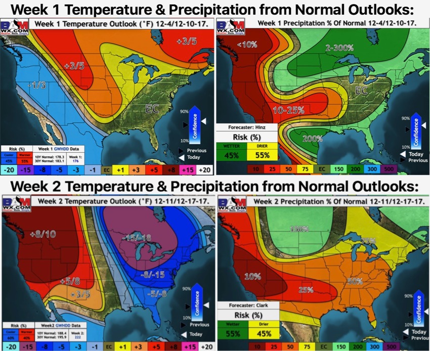
Weeks 1 and 2 outlooks: