Today’s Illinois Video Forecast:
Timing out the frontal passage tonight (time-stamp on the bottom right):
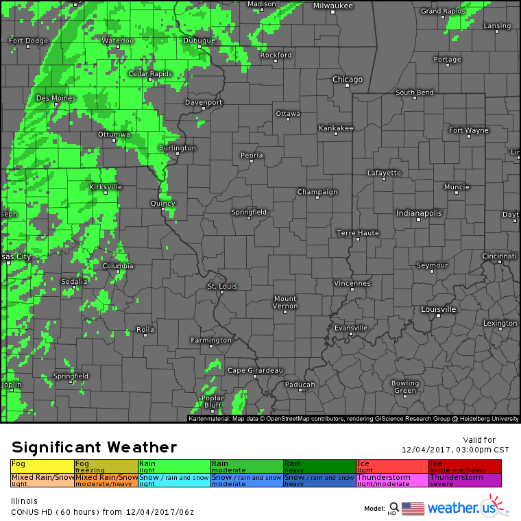
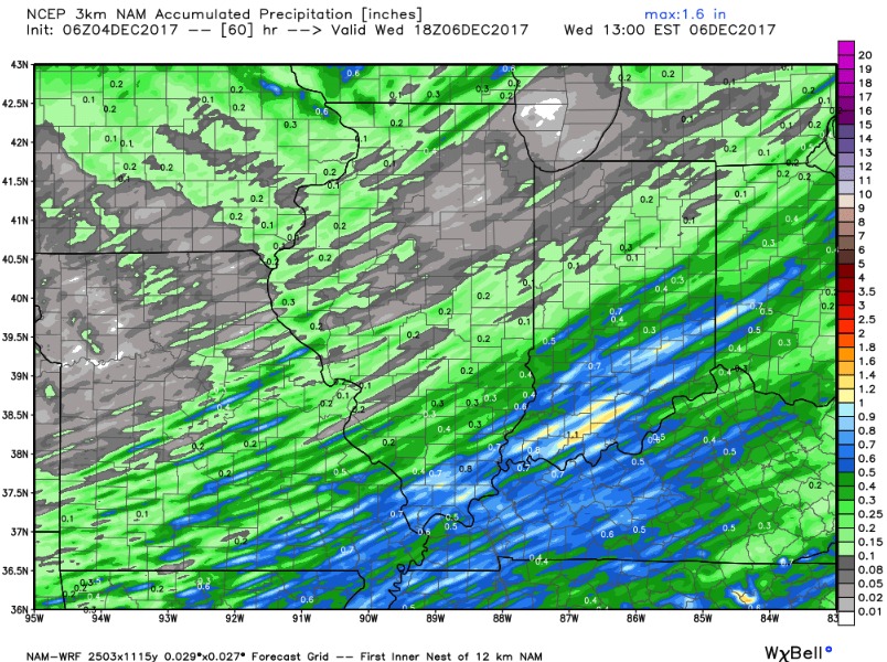
Since the rain is rather quick hitting, not expecting huge rain totals. I would expect the heaviest rain south of I-70 where up to/over a half-inch is possible. Generally 0.2″-0.3″ for areas north of I-70 with locally higher totals.
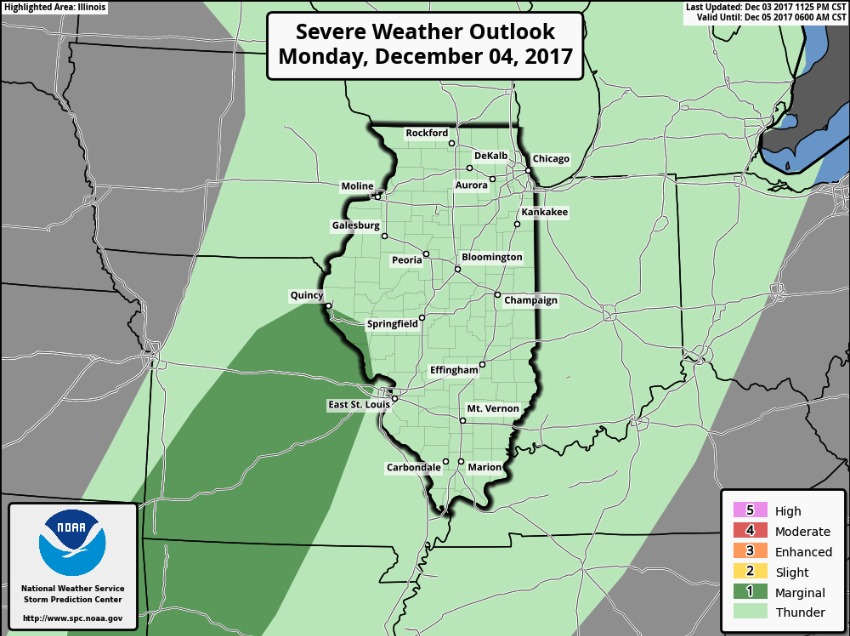
Portions of extreme western Illinois are under a marginal severe risk, the main concern is for isolated damaging wind. Wind gusts over 40 mph likely state-wide as the front passes tonight.
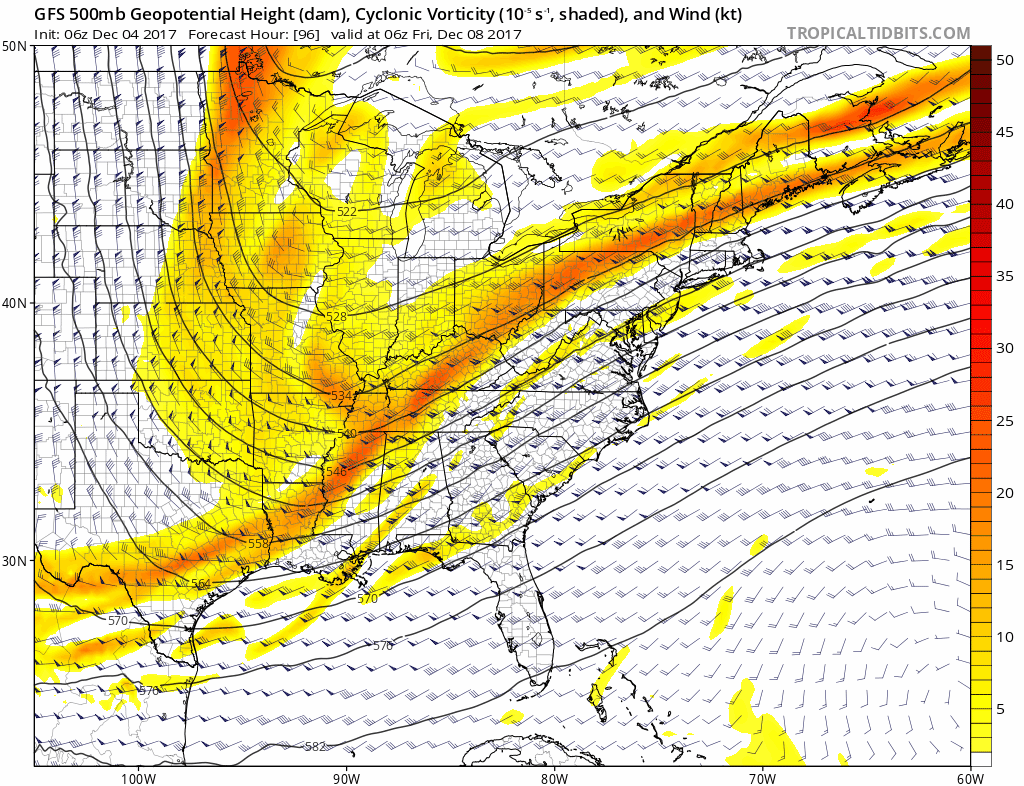
The main item we are watching beyond tonight comes Friday afternoon and night as upper-level energy swings into the region. We likely see snow flying around across the state, but uncertainty remains high on where the greatest energy tracks. Could see at least minor accumulations.
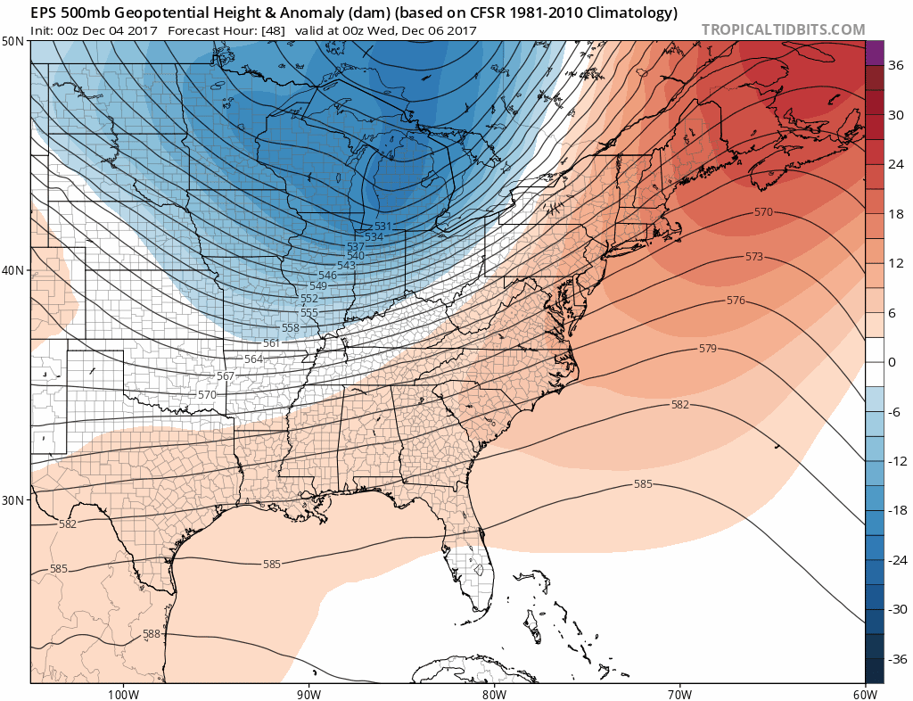
Coldest days come in Thursday-Saturday, then we may see a slight moderation in temps Sunday before another reinforcing shot of arctic air early next week. We need to monitor for additional snow chances early next week as well. We are locked into a wintry pattern through late next week as shown by the European model data.
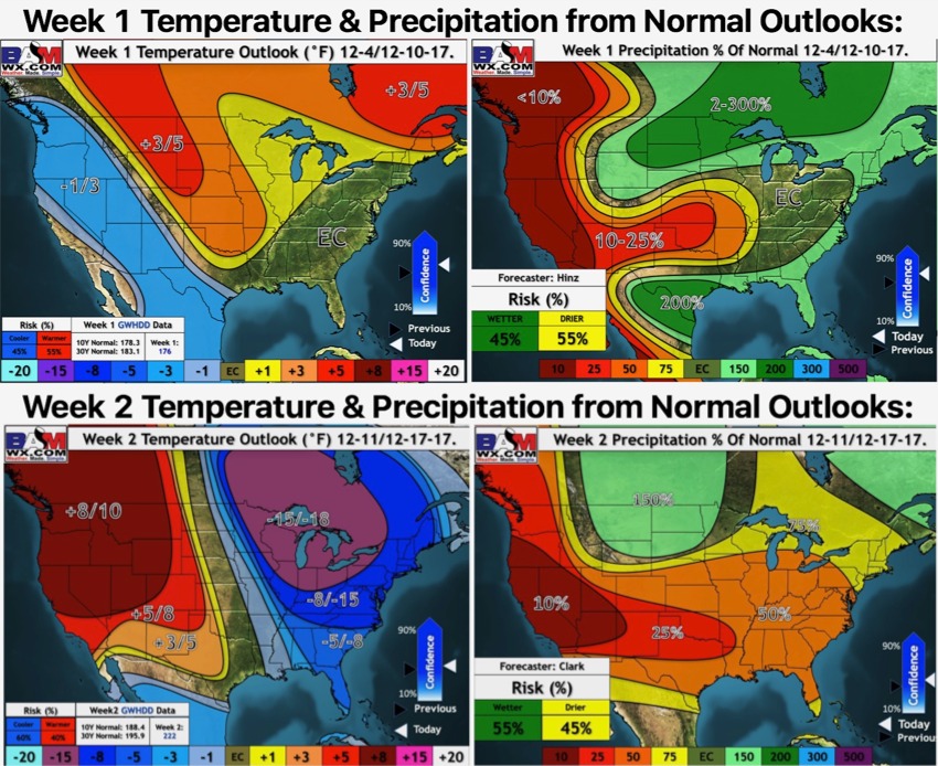
Here are our weeks 1 and 2 outlooks: