Video:
Good Thursday Morning.
Snow is falling in Minnesota this morning, and an additional few inches of accumulation is possible by this afternoon.
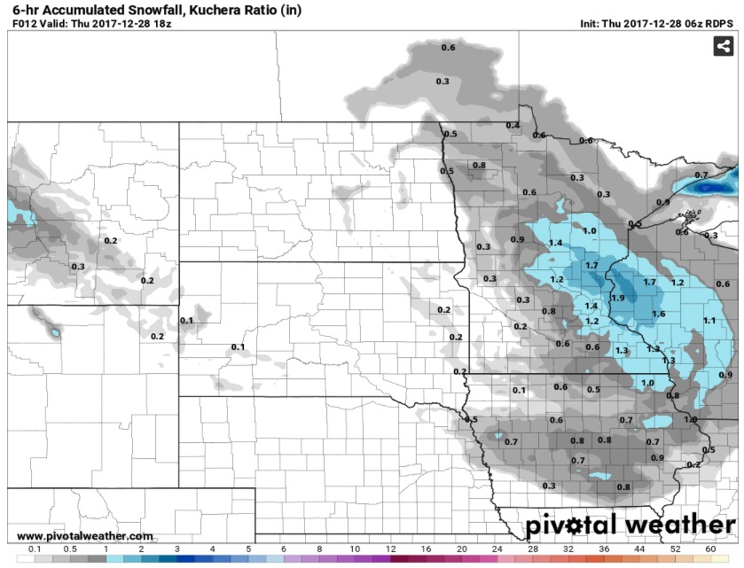
Most of North and South Dakota will dry out mid-day, but a few isolated snow showers cannot be ruled out this evening. However, a potent piece of energy will dive into the area overnight and into tomorrow. This will bring accumulating snow to a large portion of the Northern Plains.
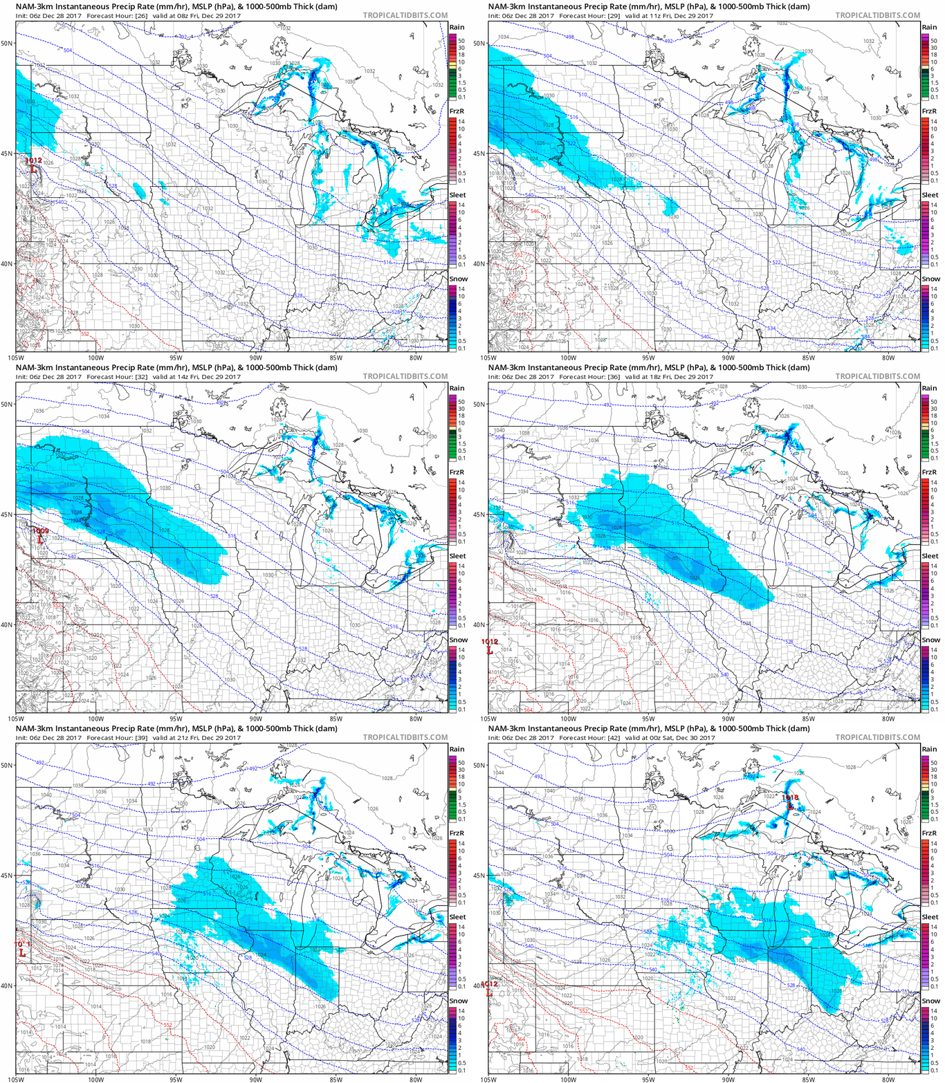
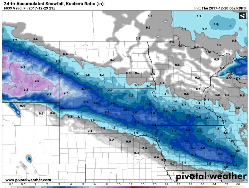
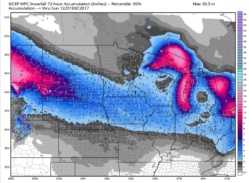
With temperatures near zero during this event, snow ratios will be extremely high, allowing for heavy snow accumulation despite low liquid amounts in the atmosphere. A band of 4 to 6 inches through South Dakota and extreme Southern Minnesota cannot be ruled out with this wave. (Snow totals through Friday Evening):
Another impressive piece of energy will dive into South Dakota overnight Friday and into Saturday morning and bring more accumulating snow.
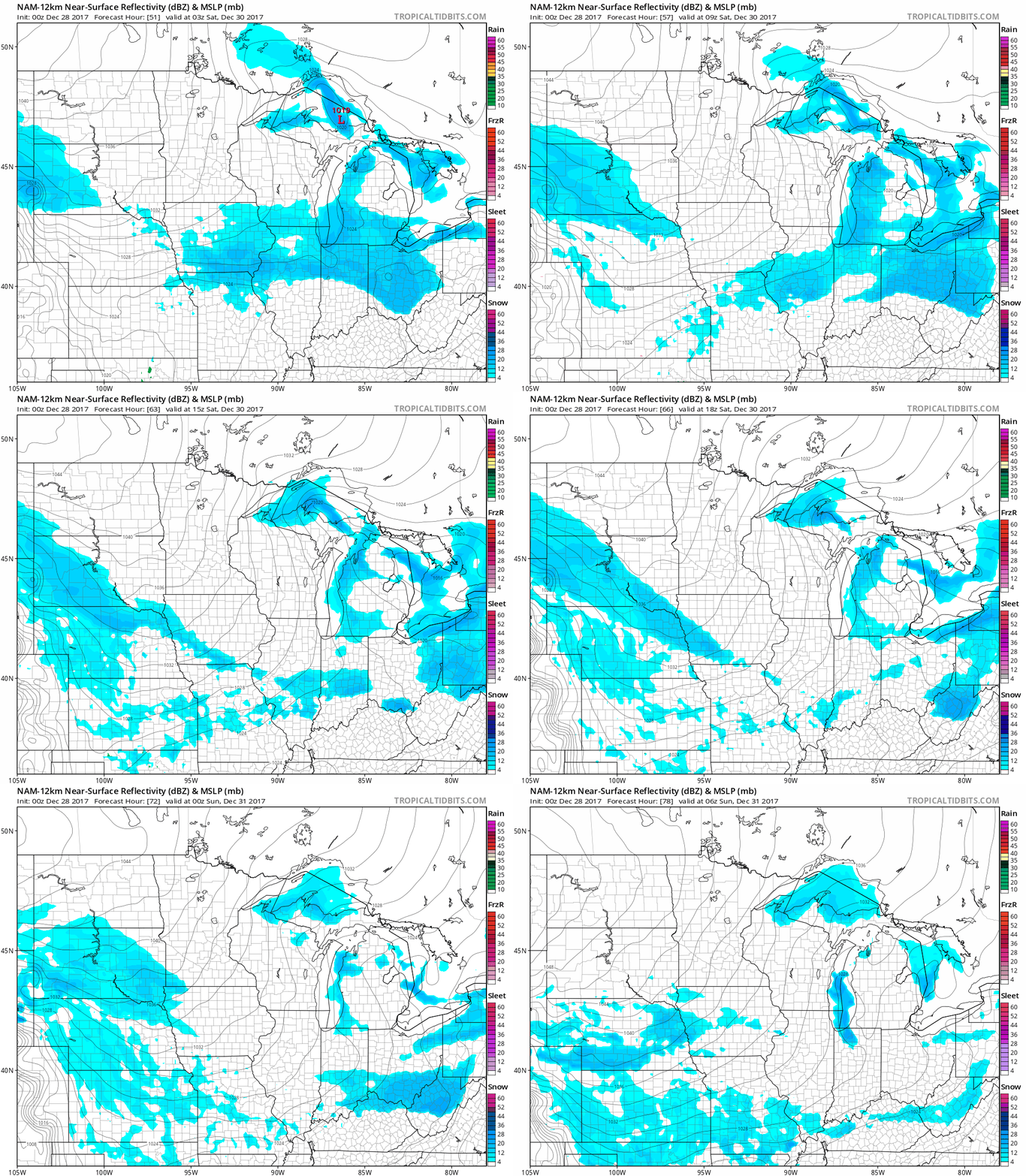
By Sunday Morning, areas in Western South Dakota could have snow totals of 6-8″ for the week. Most of South Dakota will see healthy accumulations into Sunday along with Southwest North Dakota and Southern Minnesota.
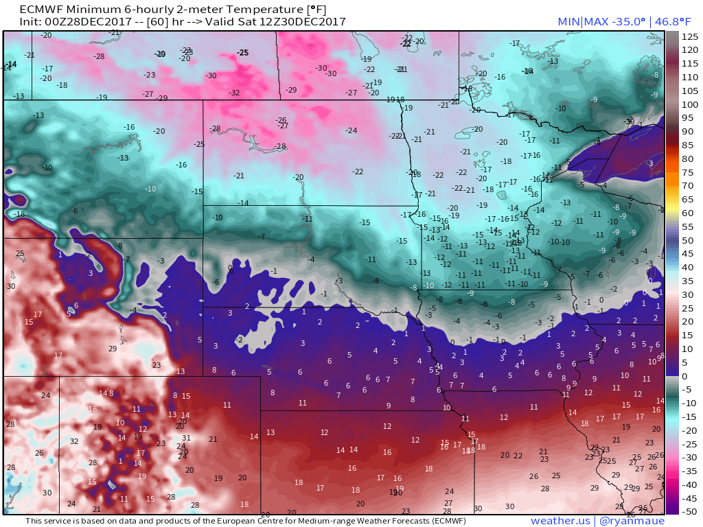
Perhaps the bigger story will be the dangerous cold which will follow these disturbances. Most of North Dakota and Minnesota will stay around ten degrees below zero for high temperatures on Saturday after morning low temperatures of -20 to -25. The morning lows will continue to be dangerous on Sunday and Monday before a bit of moderation on Tuesday. Here’s a look at Saturday Morning low temperatures:
Be sure to stay warm and take the safety precautions necessary for this dangerous shot of cold air.