Today’s video (6 min):
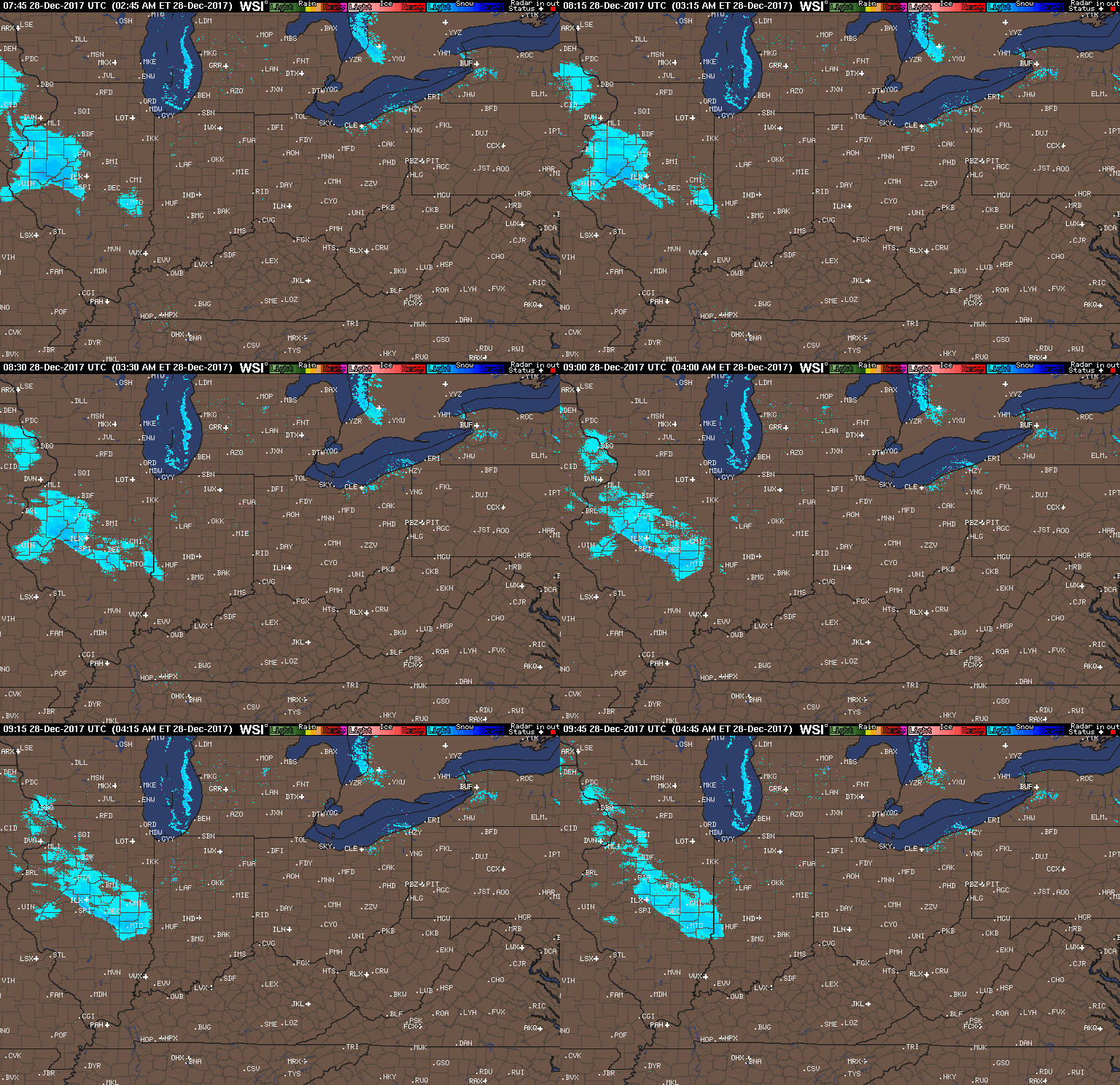
Current radar (just before 5amEST):
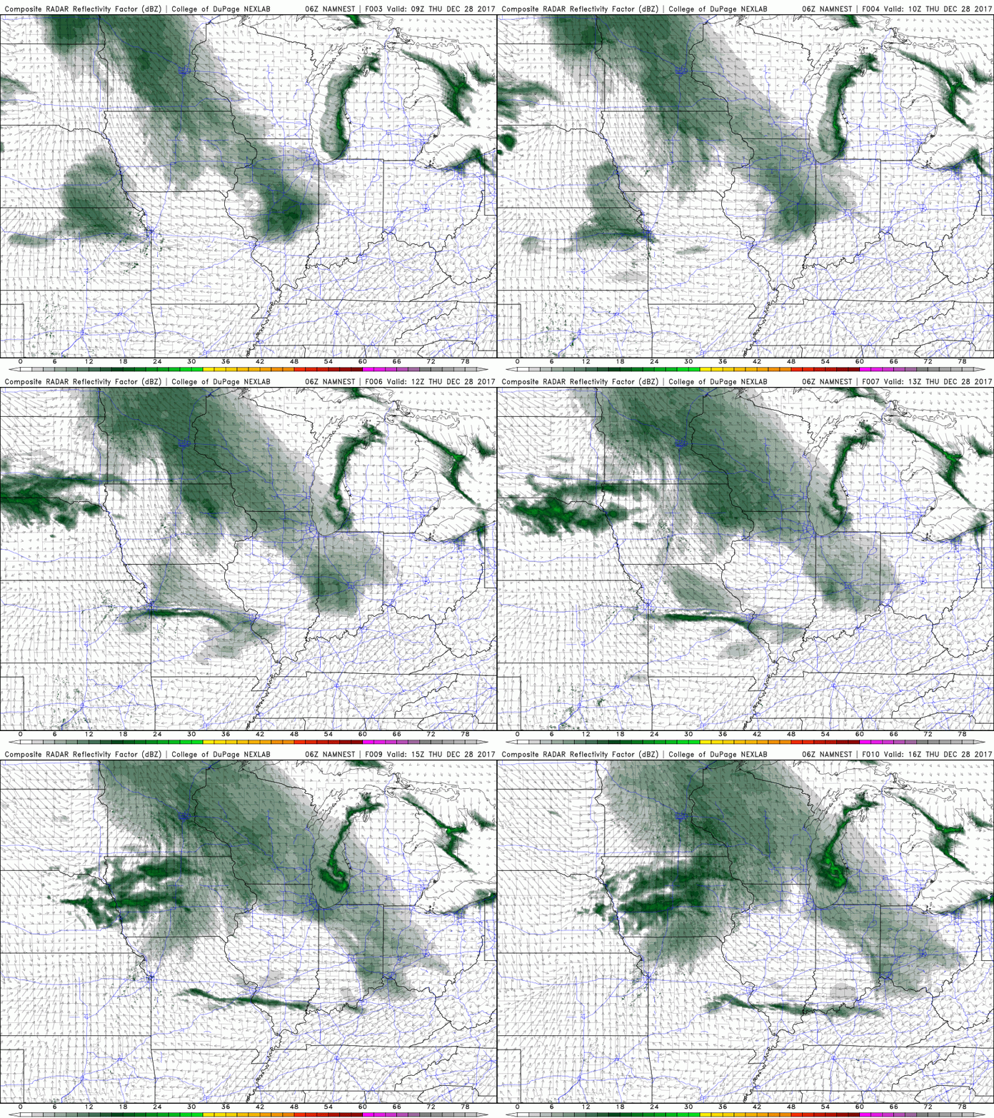
Watching a small little wave of flurries to snow showers work east across IL crossing into central IN early this morning as we mentioned would work east ~4-8am yesterday…a coating of snowfall (very dry, fine snow) will be possible with this first wave:
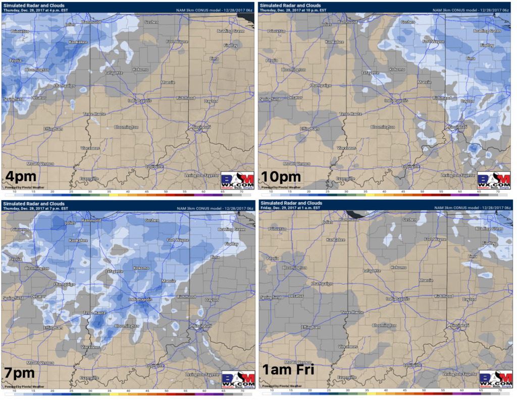
As we mentioned yesterday as well, another wave works in later this afternoon into this evening from west to east generally ~4-10pmEST…~0.25-0.5″ will be possible with this wave:
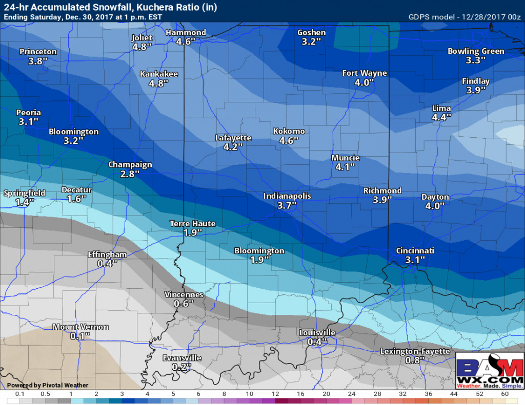
The “main show”, the bigger accumulating snowfall event still looks to move east Friday afternoon into the overnight…here’s the latest guidance from the Canadian which has been the most consistent model handling this wave (does best in these colder air events)…timing right now ~7pm Friday night to 7am Saturday morning generally:
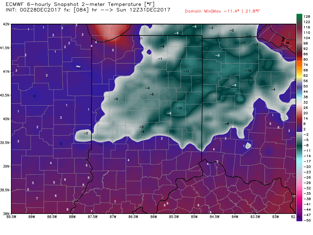
Very cold temps on the backside of this arctic front waking up Sunday morning:
