Today’s video:
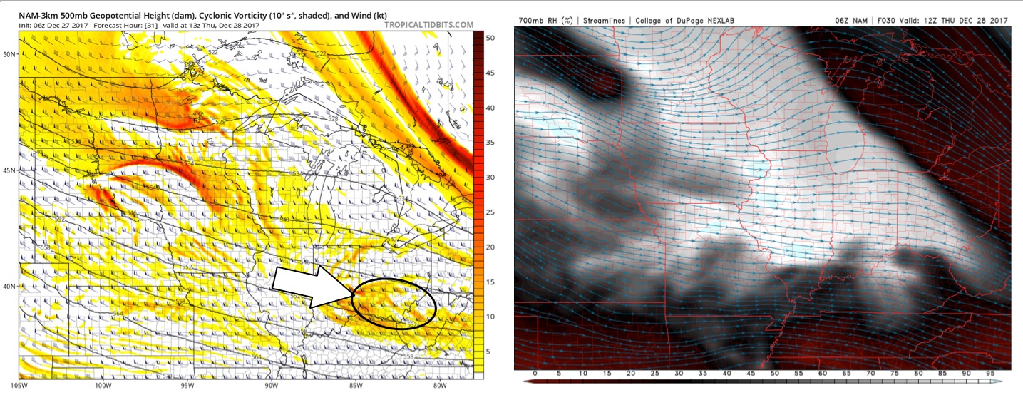
Overall we will see a lot of dry air and sunshine today, although we will still be in the single digits to mid-teens for highs. It’s as we get into later tonight into early Thursday morning where we are targeting a piece of energy to move west to east mainly south of I-70 for additional snow flurries/showers…enough to coat the ground will be possible:
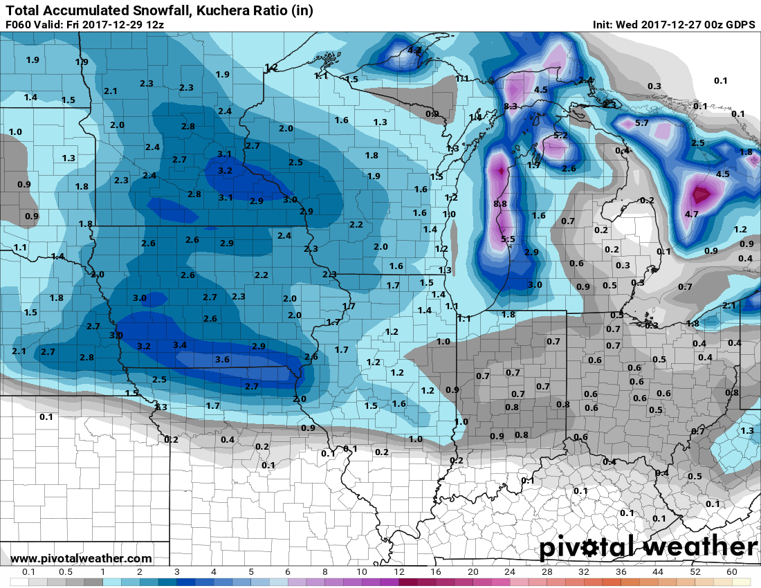
Snow accumulation guidance over the next 48 hours is below…in the video we target multiple waves of energy on Thursday into Friday morning prior to the main wave Friday night…throughout this timeframe wouldn’t be shocked for most spots to see 0.25-0.5″ (very fine, dry, light and fluffy stuff):
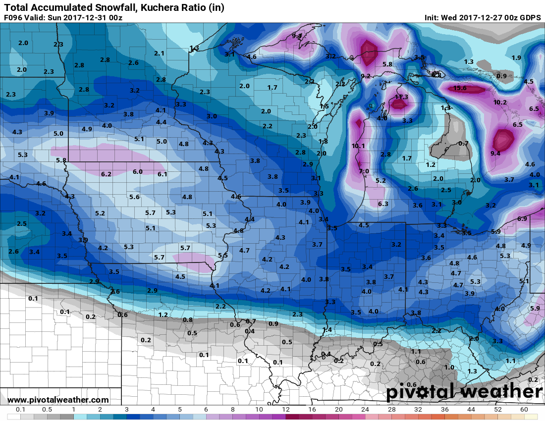
The main wave works in Friday night into Saturday from west to east…this will be more of a widespread snowfall bringing in a swath of 2-5″ Iocally…we will need to fine-tune better time and exact accumulations, but we are seeing consistency in the data for this being a widespread snowmaker:
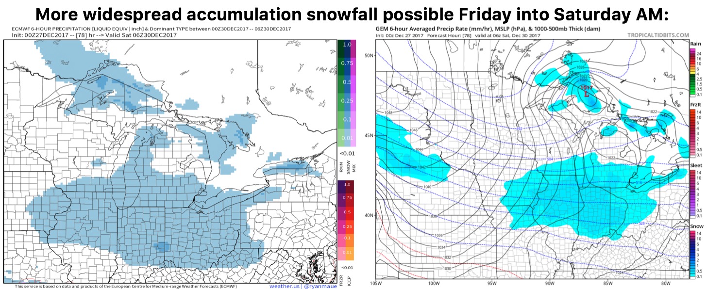
Guidance for snowfall through Saturday from the Canadian model…we chose this model because it handles snowfall ratios better given the bitterly cold temps but a widespread swath of 2-5″ possible: