Today’s video:
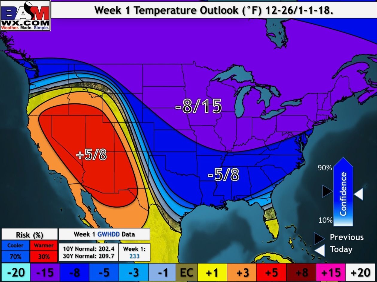
Very chilly over the next week with multiple days dipping into the single digits if not below zero where the snow pack is the heaviest (north of I-70):
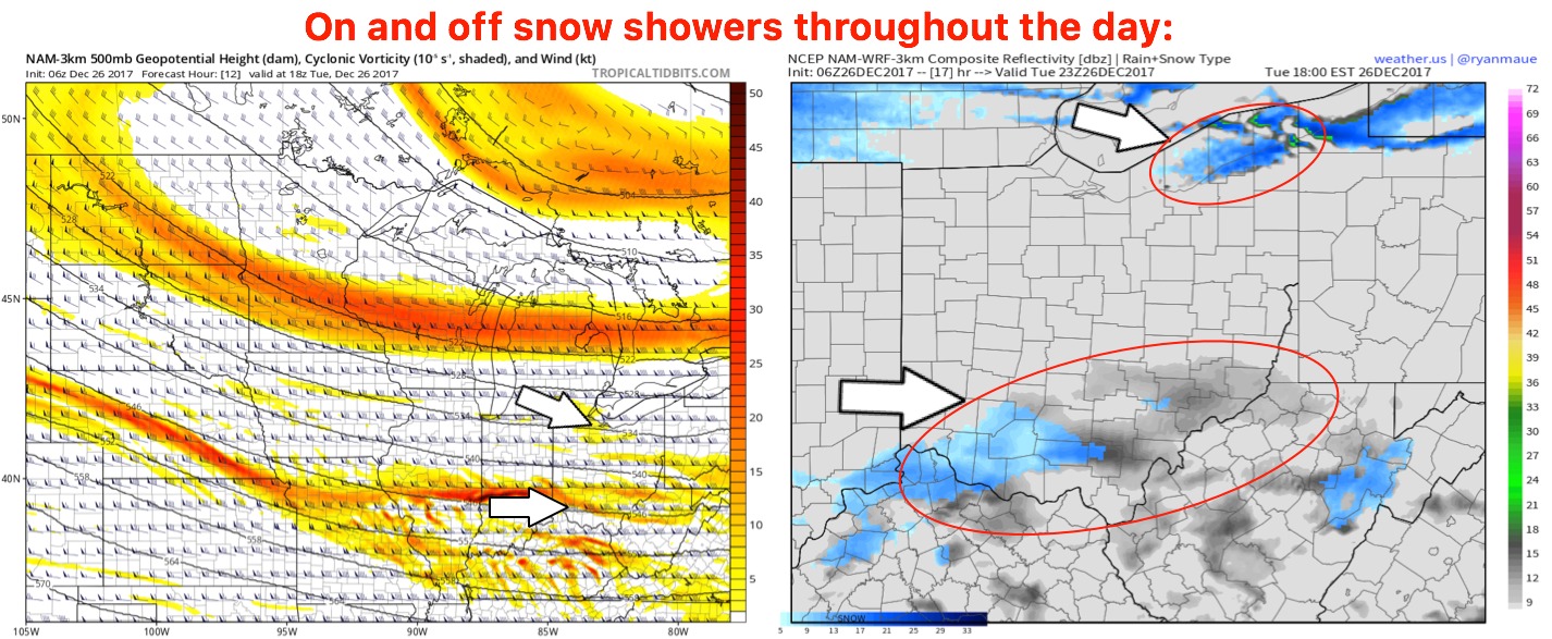
Will see on and off snow showers south of I-70 today ~30% (a light coating is possible) as well as continued lake effect snow showers across the northeastern parts of the state:
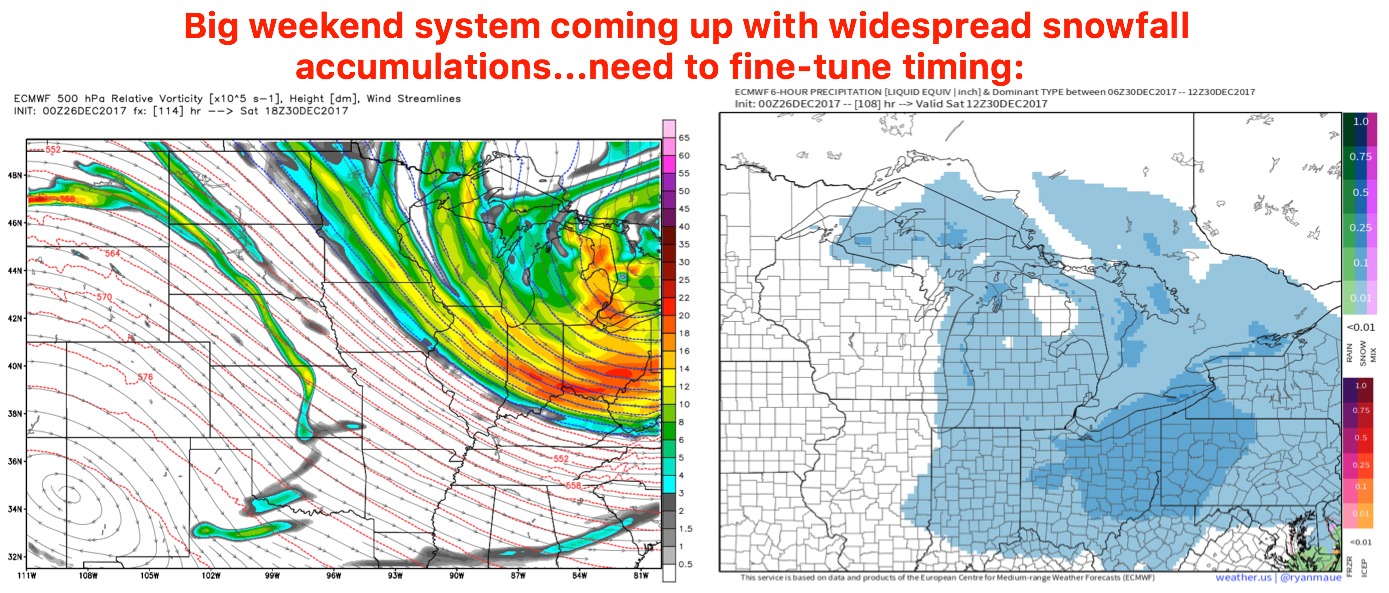
Eyeing this weekend for a more widespread snowfall event as an arctic front crashes down into the Ohio Valley bringing in extremely cold air to follow…we need to fine-tune timing and exact accumulations but some New Years Eve snowfall potential is on the table: