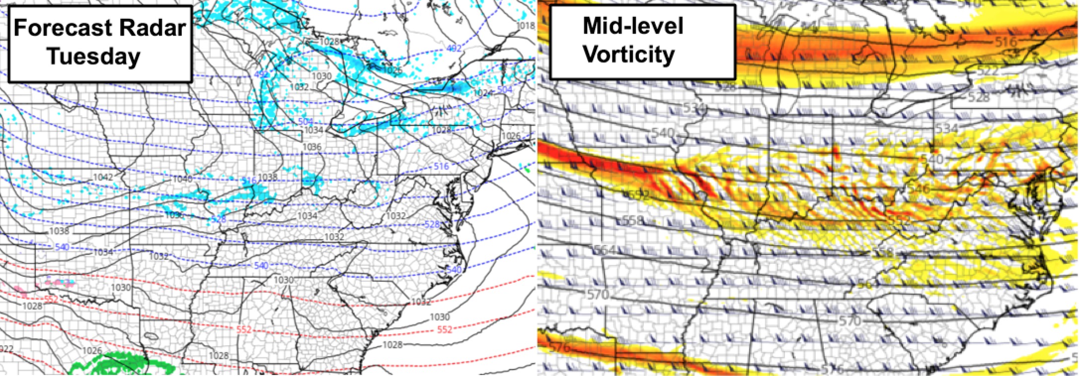
Synopsis: Good afternoon, and Merry Christmas!! Hope everyone is having a blessed day. We are watching for some weak impulses of energy to streak through the region late tonight, and we will be in this pattern through late Tuesday night. We do believe areas of flurries/fine light snow showers will be generated to create quick coatings. Another disturbance to watch Wednesday night/Thursday, then a better chance for snow with a clipper system late Friday into Saturday. We also need to watch for even colder (dangerously cold) temperatures possible this weekend in the wake of the potential snowfall. More details in the video. Have a wonderful rest of your day, and let us know if you have any questions!
Video (4 min):
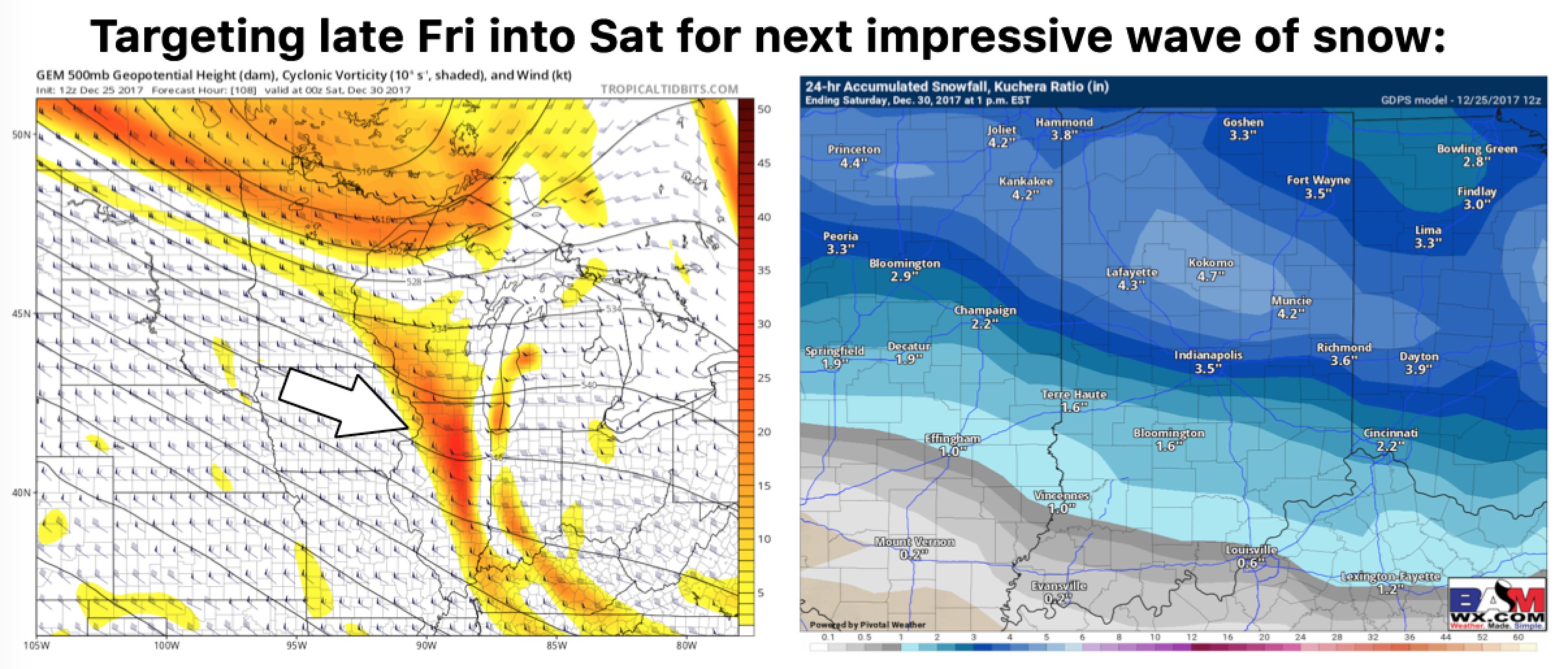
Watching a clipper late Friday into Saturday:
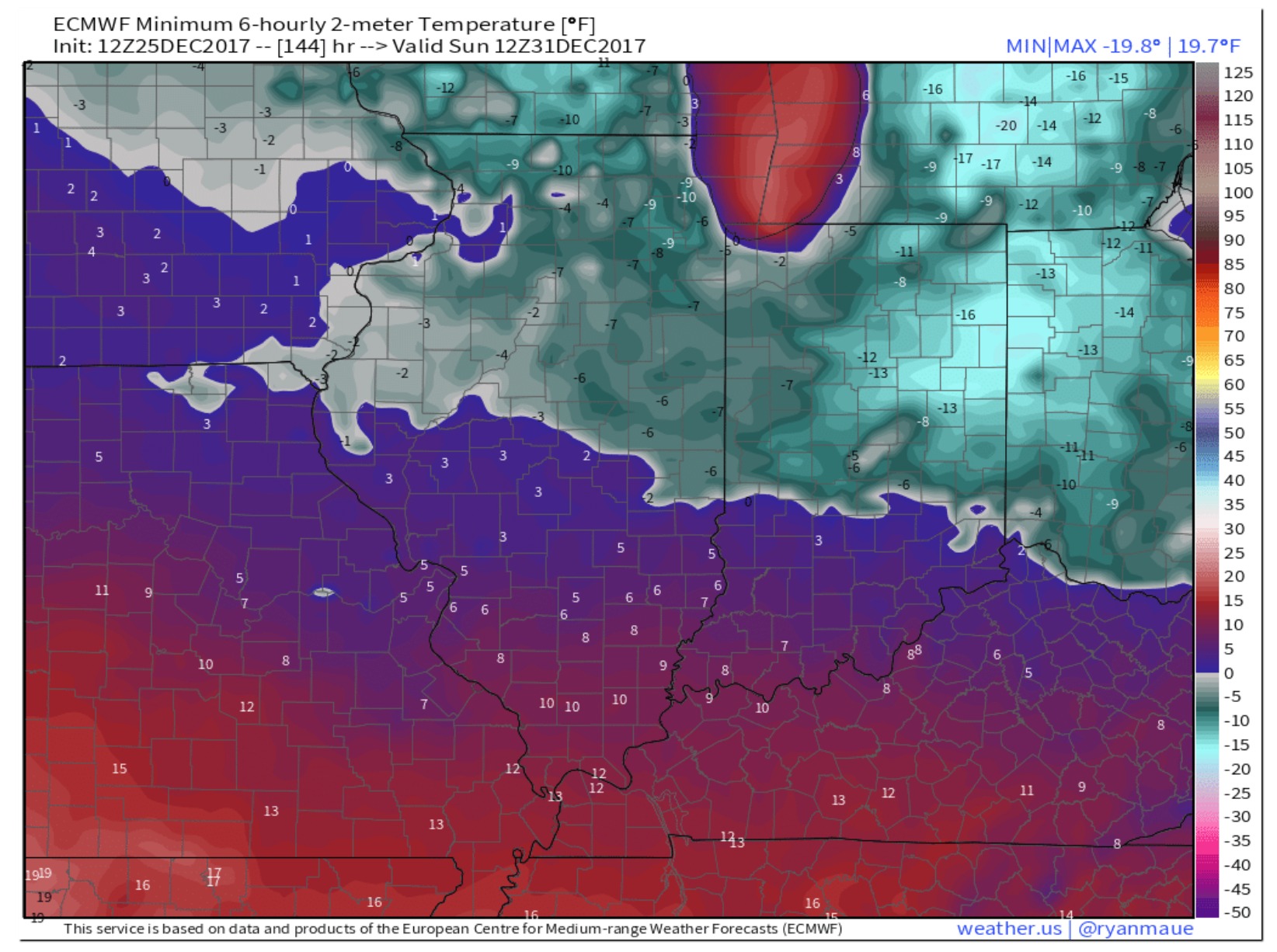
Watching for reinforcing cold in the wake of this system, dangerously cold temperatures possible. How cold we get in southern Indiana will be dependent upon how much snow is laid down. It will be cold regardless. European model forecast lows Sunday morning: