12-21-17 LaPorte & Ft. Wayne District Forecasts
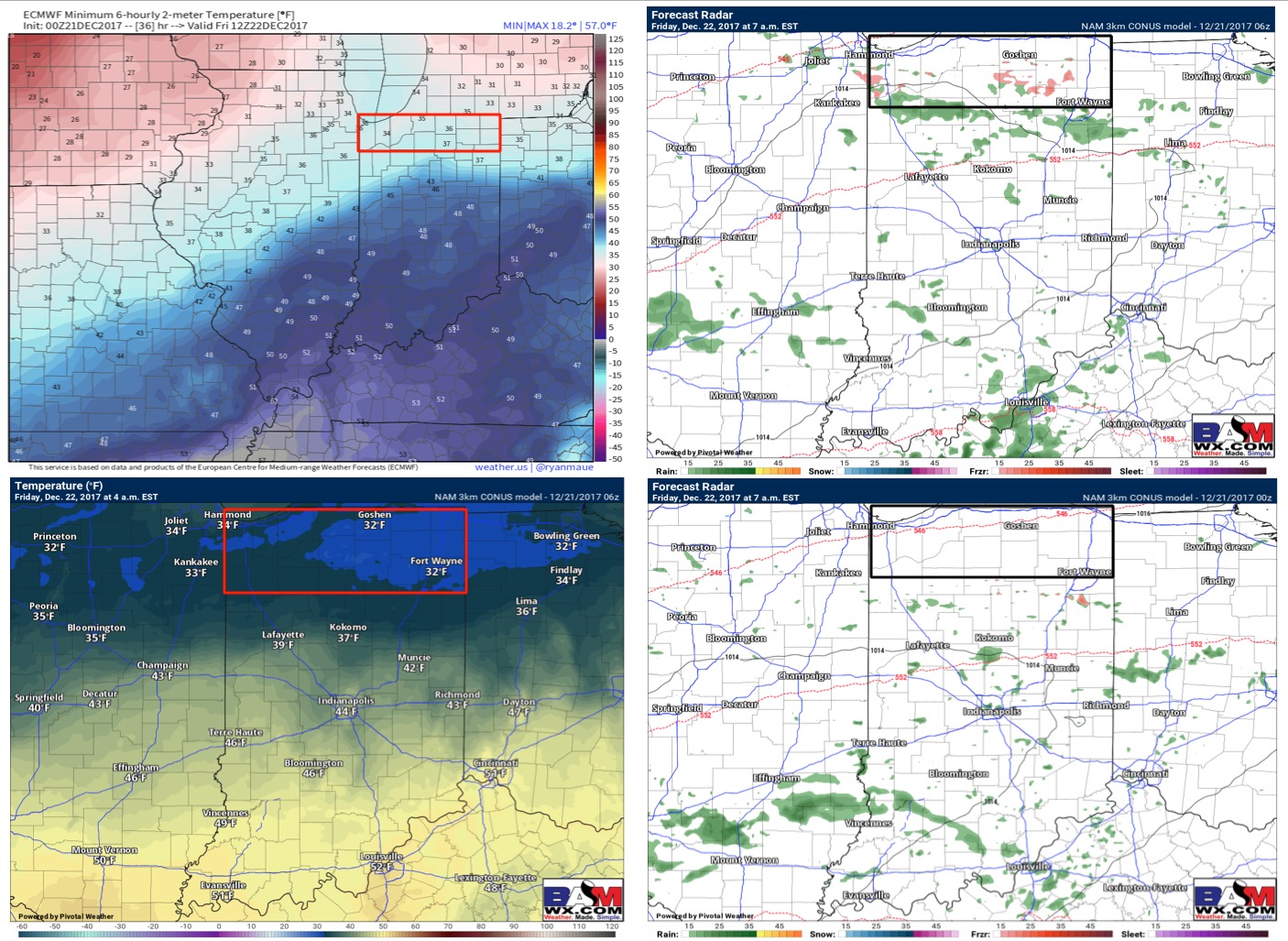
Synopsis: Good Thursday morning! A warm front will be lifting north as we go throughout tonight into Friday…this could become a problem tonight for some potential freezing drizzle if temps can get down to freezing (31-32ºF ~1-2am to daybreak). We do have some data that keeps temps slightly warmer so there is a risk here we don’t get cold enough, but with a northeast breeze we get concerned that this could cause some slick spots on pavement; more on this in today’s short-term update. Beyond this a low pressure system moves through Friday into Saturday waking up to a mix of rain and snow…we don’t anticipate much in terms of frozen accumulation given the surface temps, however, slick surfaces where left untreated will be possible. Our next storm system beyond that moves in Christmas Eve as a piece of energy moves into the area…this needs to be watched closely for accumulating (fluffy) snow as temps will be into the 20s. All details in the video…let us know if you have any questions, have a blessed day! -Kirk
Today’s video (7 min):
We are erring on the side of caution tonight as temps looking to flirt with 32º into Friday morning across both districts…we need to watch for slick spots and a light freezing drizzle. It’ll be a very close call, please don’t hesitate to reach out with questions; more on this in today’s afternoon update:
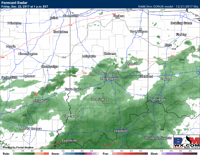
Here’s a simulated radar of the precipitation working in late Friday into early Saturday…expecting this to transition from rain to snow showers as temps drop down to freezing (and is very cold aloft)…we need to watch for slick spots on the backside of this precipitation Saturday into Saturday night as temps drop into the 20s with little wind noted: