Video:
Still watching for freezing drizzle potential Thursday through early Friday for northwest portions of the state, including the Rockford area over towards Mount Carroll and Galena. 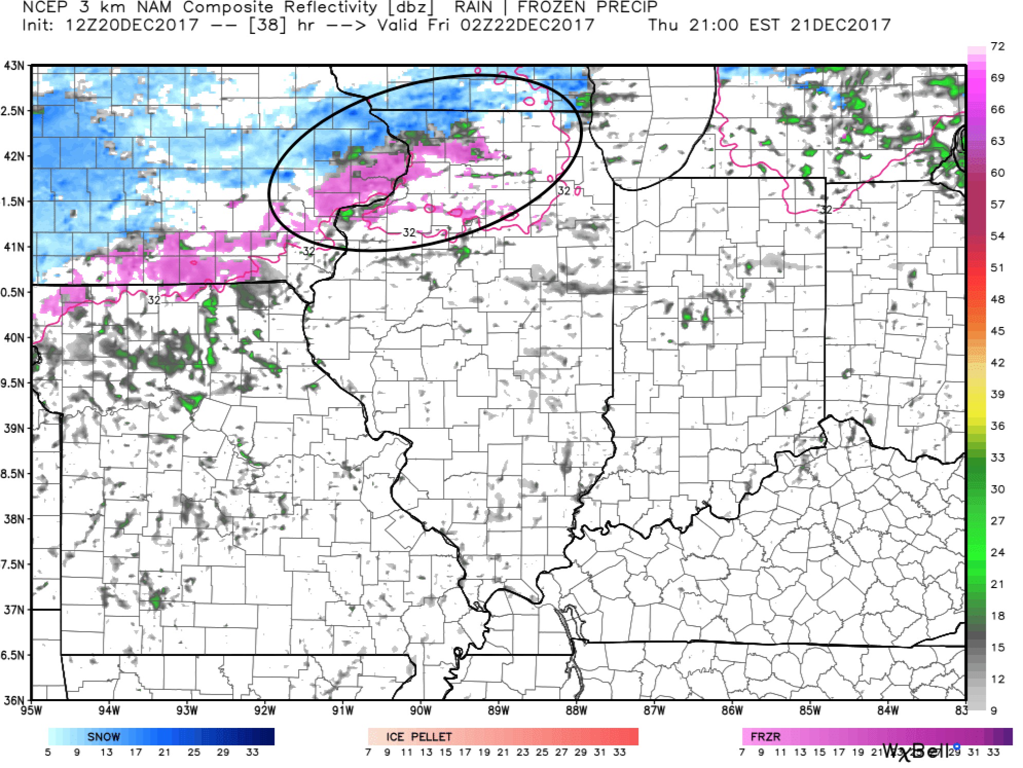
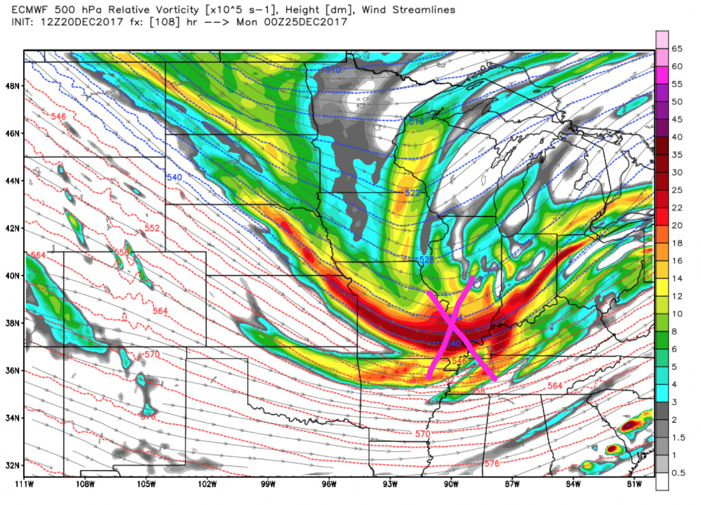
A potent piece of energy will dive into the midwest on Christmas Eve.
Timing (1 PM Christmas Eve – 7 AM Christmas Day):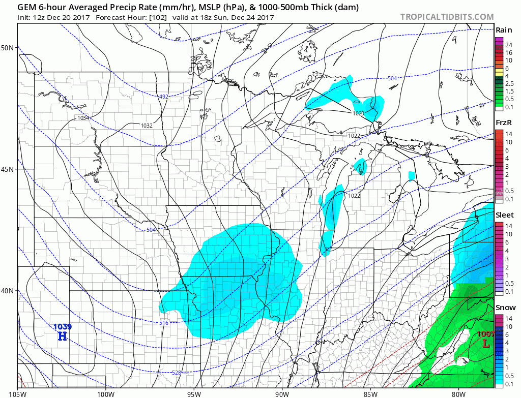
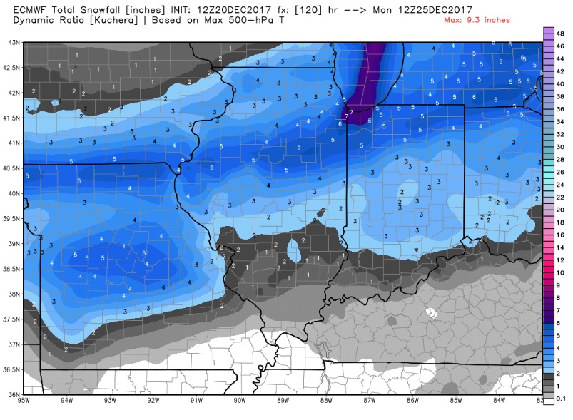
The European and Canadian models are both aggressive with the snowfall potential Christmas Eve night. As of now central and northern Illinois are the targets for the heaviest snow bands, but expect deviations in snowfall forecasts in the coming few days (*Note: This represents an idea, not our current forecast).
We will be watching how this system trends and fine tune the forecast over the next few days. Do not hesitate to contact us if you have questions.