Video:
A few snow showers in northeast Iowa (a coating possible), other-wise a dry day across the region with some sunshine and somewhat warmer temperatures.
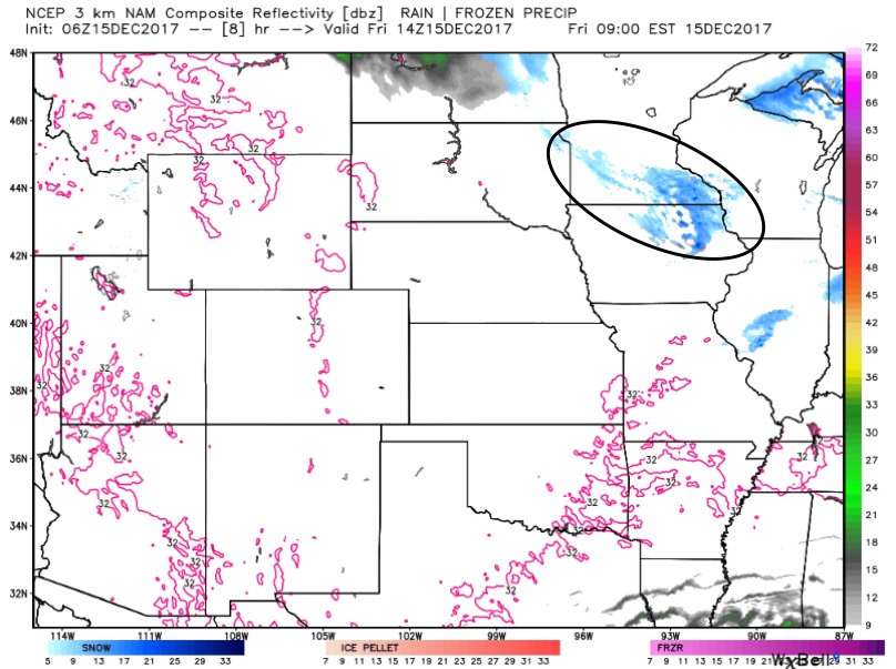
Here is the simulated radar through noon Sunday. Most of Saturday stays dry, then we expect light rain to work in across eastern Kansas and Missouri after midnight Saturday night, and gradually moving out Sunday afternoon. Another disturbance will bring light snow showers to western Nebraska Saturday night. Freezing drizzle can’t be ruled out in southwest Nebraska and northwest Kansas overnight Saturday into early Sunday.
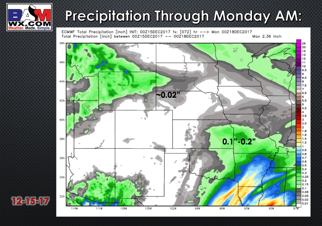
Here is a look at total precipitation through Monday morning:
Relatively quiet and (warm!) weather for the first half of next week, then a system ushers in big changes Thursday/Friday of next week. A sharp drop in temperatures expected behind the front late week into next weekend. This could bring some snow accumulations to Nebraska and Iowa.
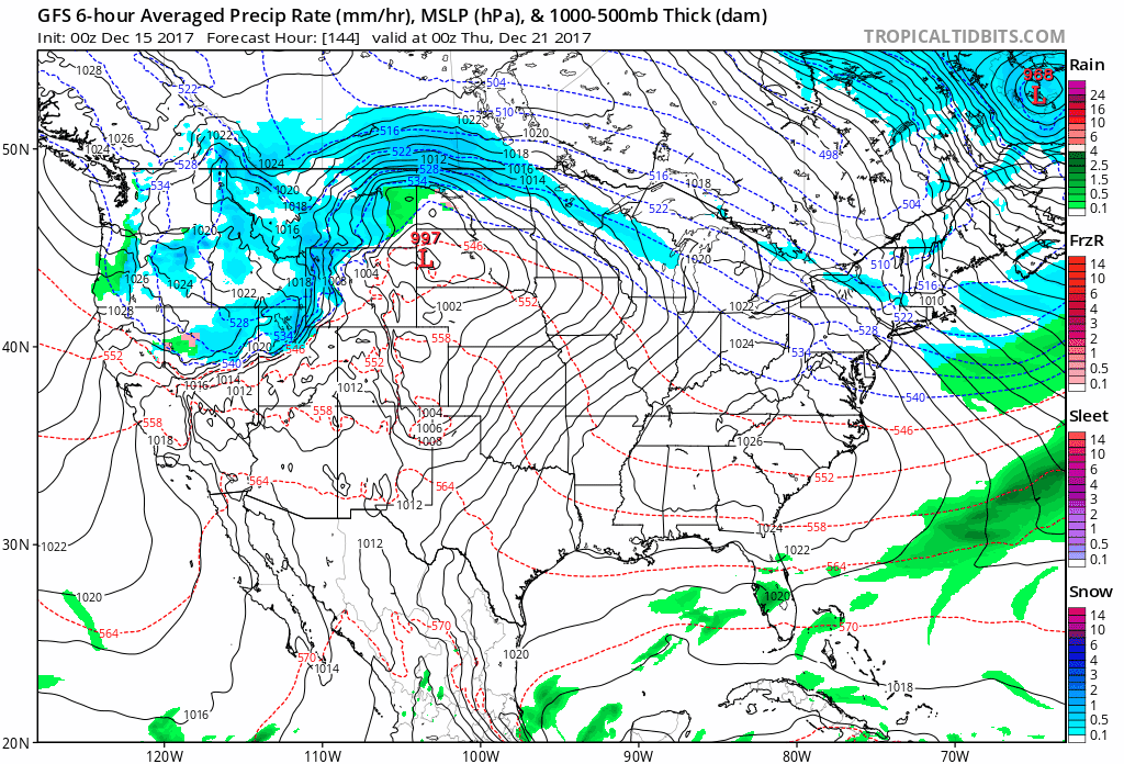
Overall, a very cold pattern looks to set in for Christmas, and this pattern sticks around into early January. We also could see a ramp up in winter storm threats pending on the placement of an active southern jet stream. Here are our weeks 1 through 4 outlooks: