Video:
Forecast radar this afternoon through early Saturday:
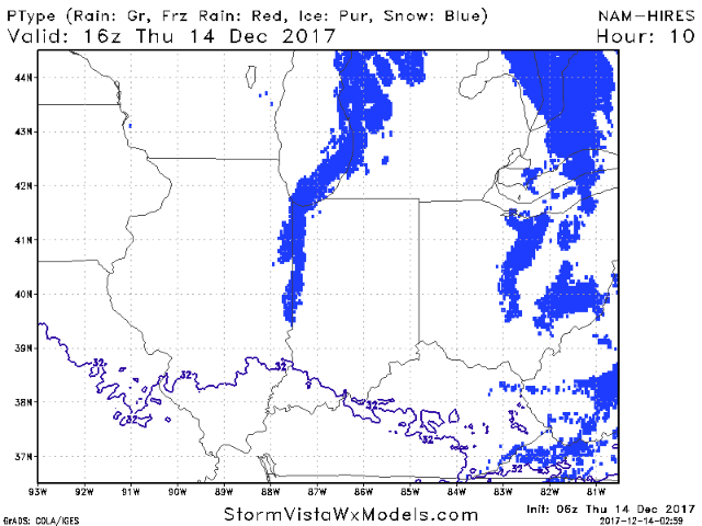
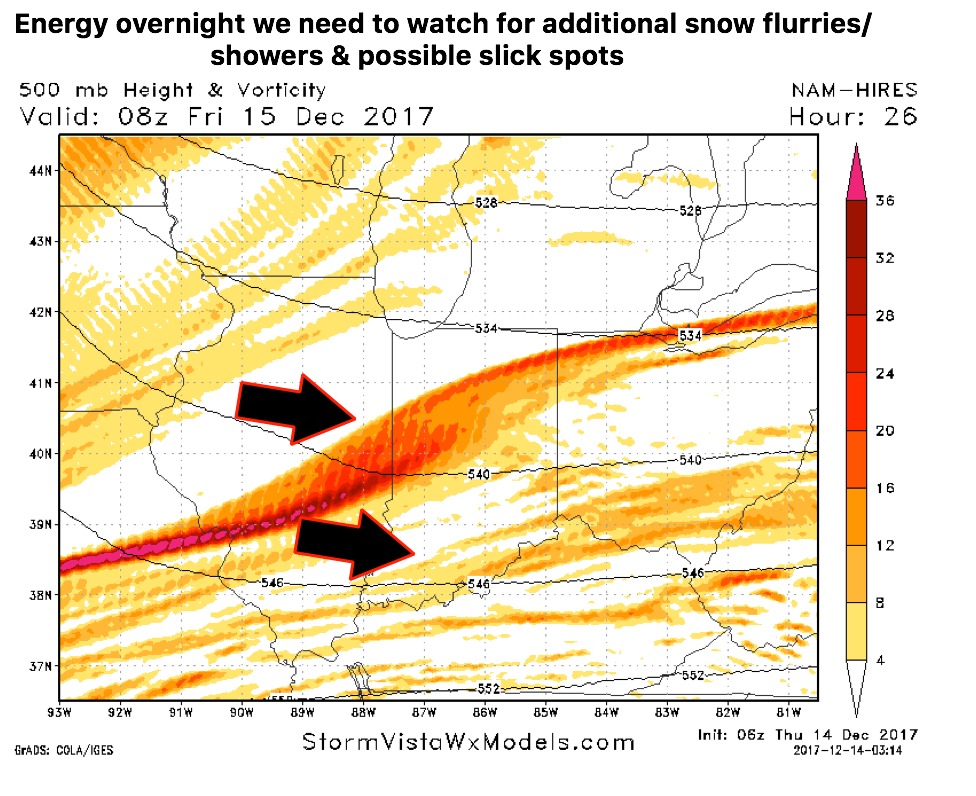
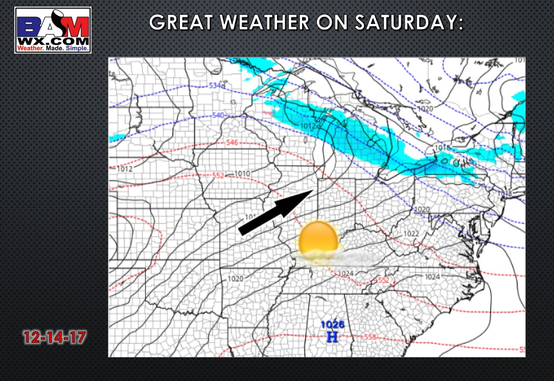
We should see dry weather through the day outside of some early lake-effect flurries in far northeast parts of the state. Although the simulated radar doesn’t pick up on this, need to watch a ribbon of energy working southeast overnight into early Friday that may squeeze out some flurries. The main wave works in from late night through the first half of Friday with a few flurries or a snow shower possible (especially north). Will have to watch far northern sections of the state for additional light snow showers Friday night.
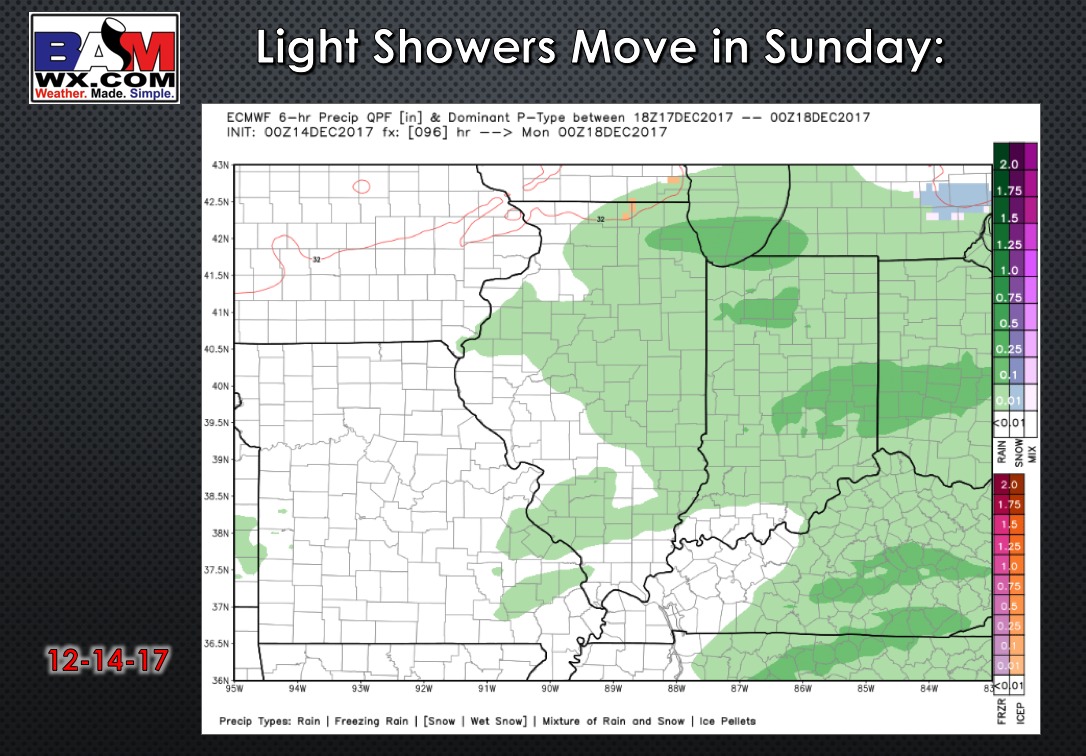
A weak system will move through on Sunday, bringing light precipitation. Most of this falls as rain, but pending the timing it could start as a bit of a mix.