Today’s video (6 min):
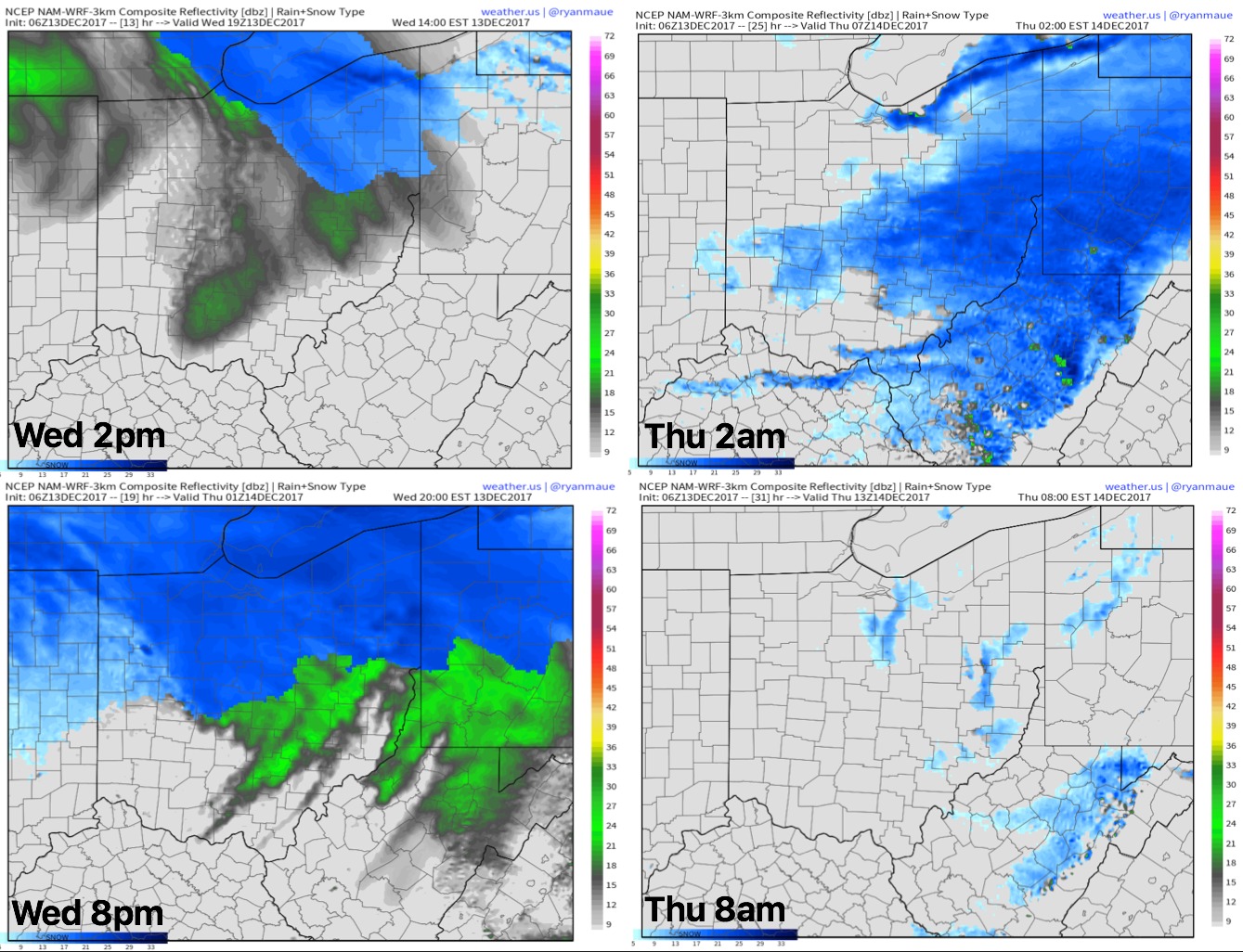
Simulated radar guidance as we go throughout the day into Thursday morning…targeting a solid wave of energy moving through bringing, at times, moderate to heavy snowfall mainly along and north of I-70.
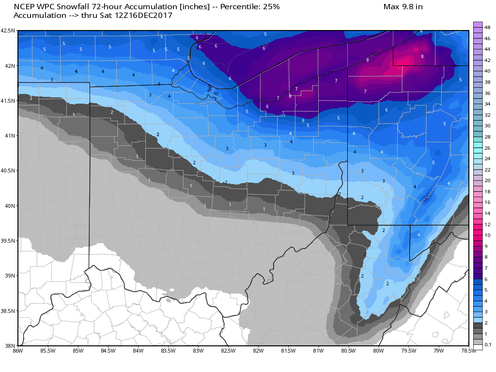
Snowfall guidance as we go throughout the next 72 hours…south of I-70 little to no accumulation expected as we will be too warm…from Defiance to Columbus and points east we thin 1-2″, near Toledo to west of Cleveland south ~2-4″, and then northeastern parts of the state impacted by more lake effect will still still 4-6″ (localized higher possible):
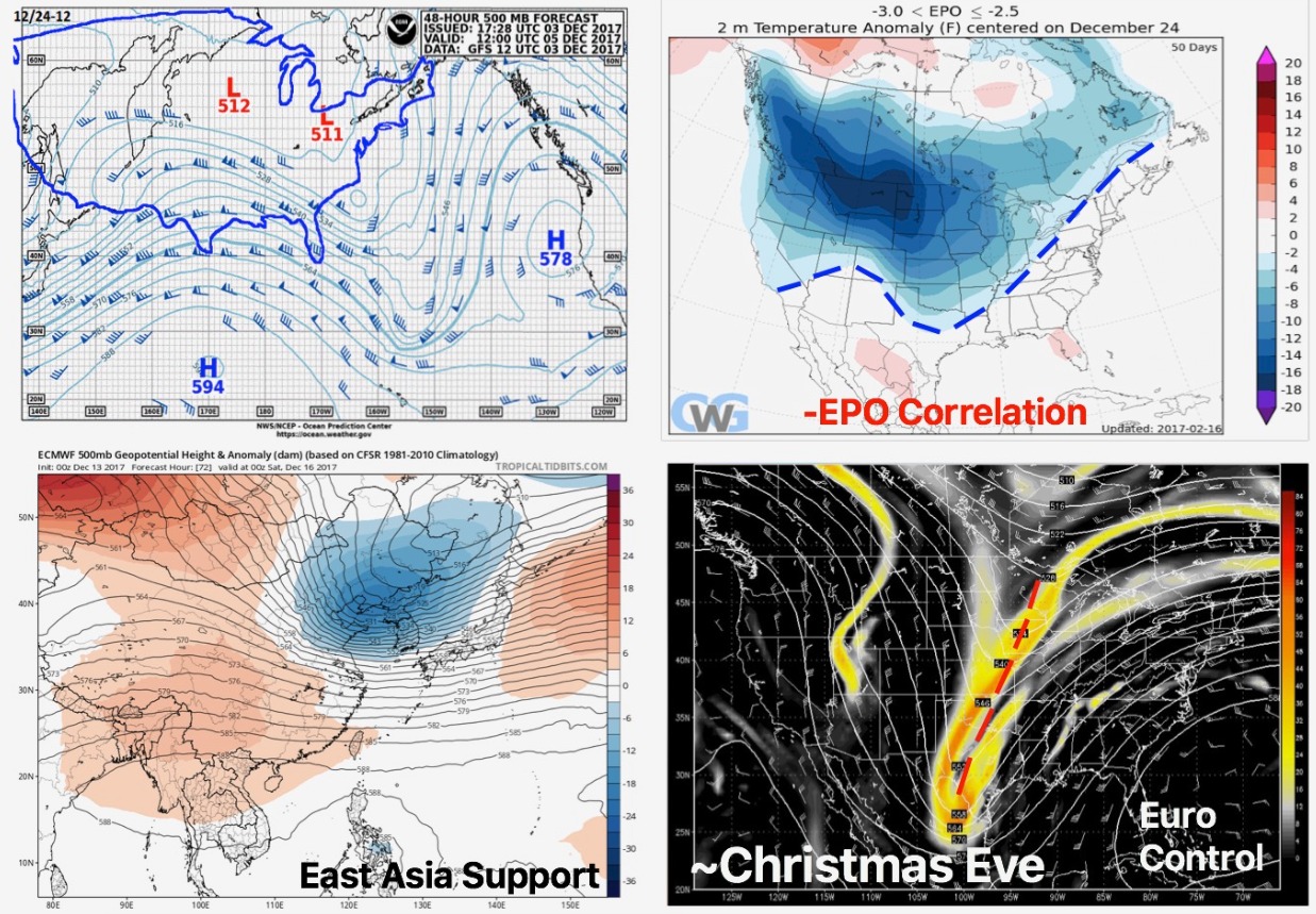
Continue to eye around the 23-25th timeframe for a disturbance to work into the Ohio Valley we think has wintry implications…more details in today’s long-range: