Today’s Illinois Video Forecast:
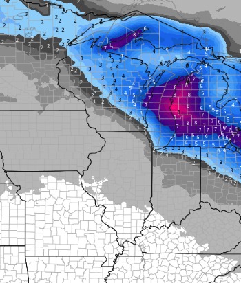
Forecast radar through the day….main threat for scattered light precipitation works in late morning and through the afternoon across the northern portions of the state. Winds get gusty gusting 30-40 mph this afternoon into the evening.
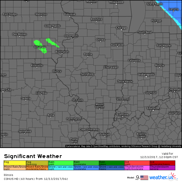
The main swath of snow with this system will stay to our north and east, but cannot rule out 1″ or so in spots near Chicago and northeast counties. Something to watch tonight will be for some lake-effect snow to clip portions of Cook county. Most of this stays just east in Indiana.
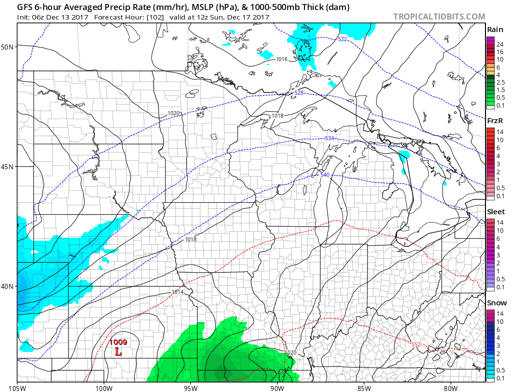
Another weak disturbance may bring snow showers to northern portions of the state Thursday night into Friday. Light accumulations will be possible, but mostly under 1″. Main chance looks to be from Rockford to Chicago. We warm it up this weekend with showers possible on Sunday. Saturday is looking like a nice day!
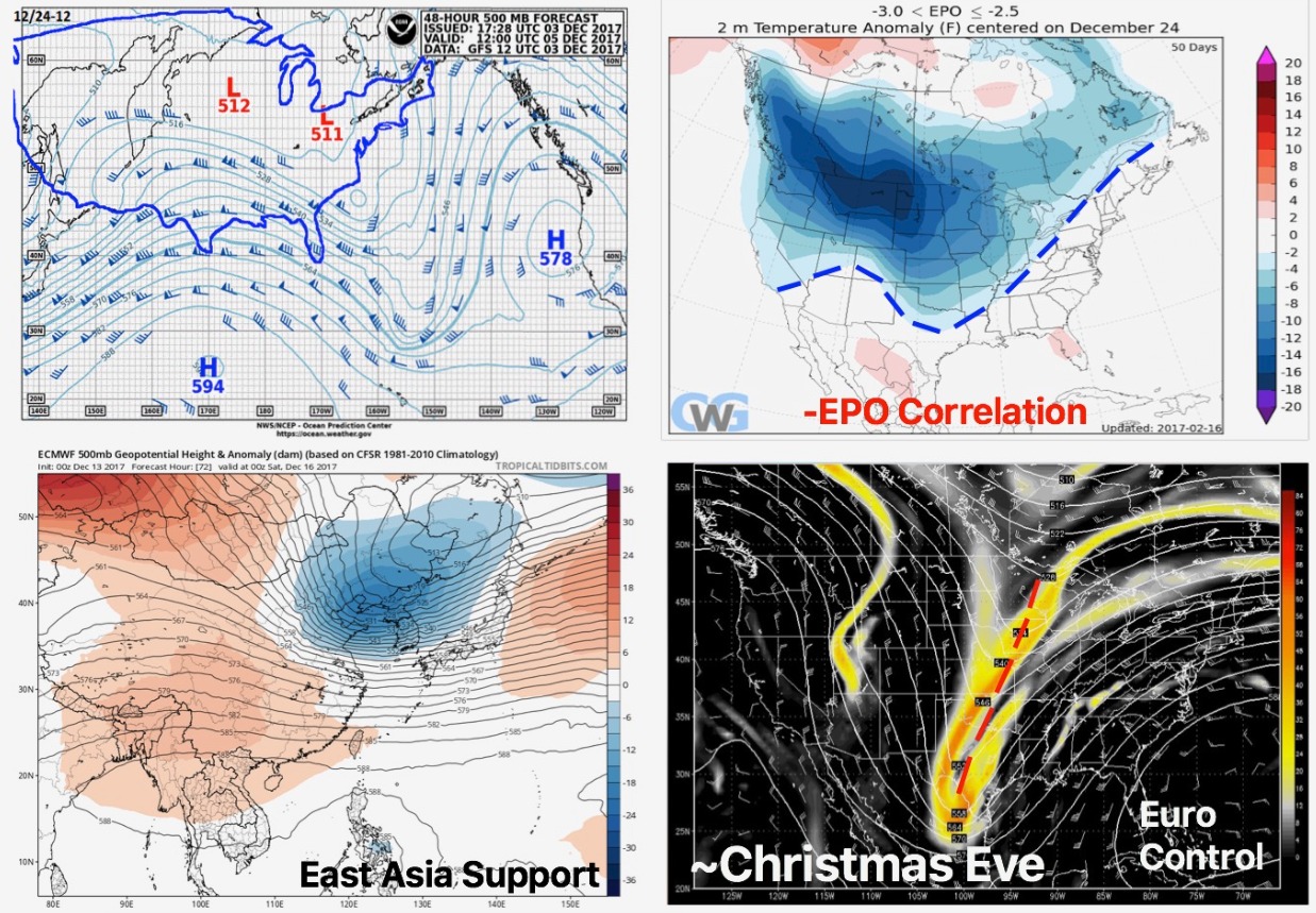
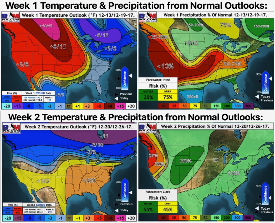
Watching the pattern as we get into the Christmas time-frame…pattern may be evolving to favor a winter storm. Again, it is all just a possibility at this time but certainly something to keep our eyes on.