Wednesday, November 8, 2017 Ohio Forecast:
Today’s video (5 min):
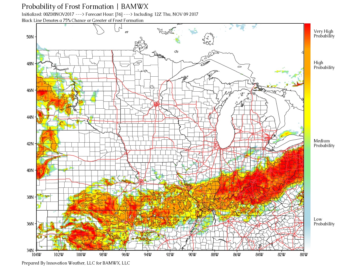
Frost potential lingering south of I-70 and I-71 waking up Thursday morning as some our coldest air of the season filters in…can’t rule out a few slick spots:
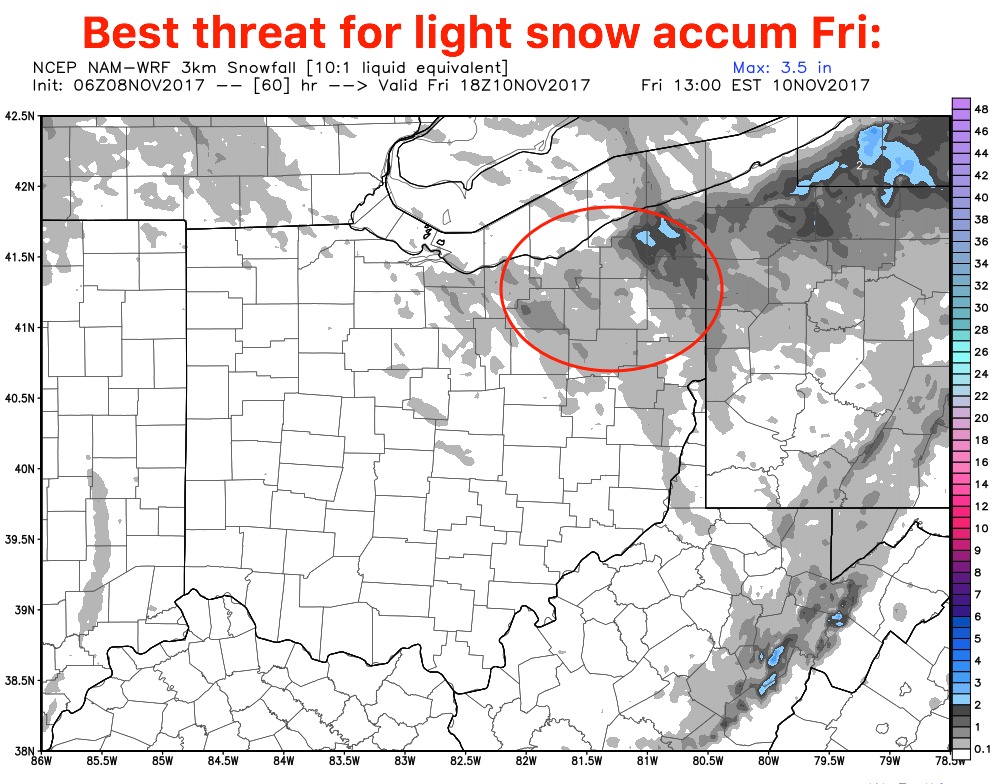
Watching for the potential of some lake effect snow showers possible as a cold front pushes southeast later Thursday night into Friday morning as one of our coldest air masses of the season works in. Can’t rule out some light accumulations of 1-3″ across far northwestern Ohio locations where that heavy lake effect band sets up…otherwise a few slick surfaces north of I-70 and I-71 can’t be ruled out.
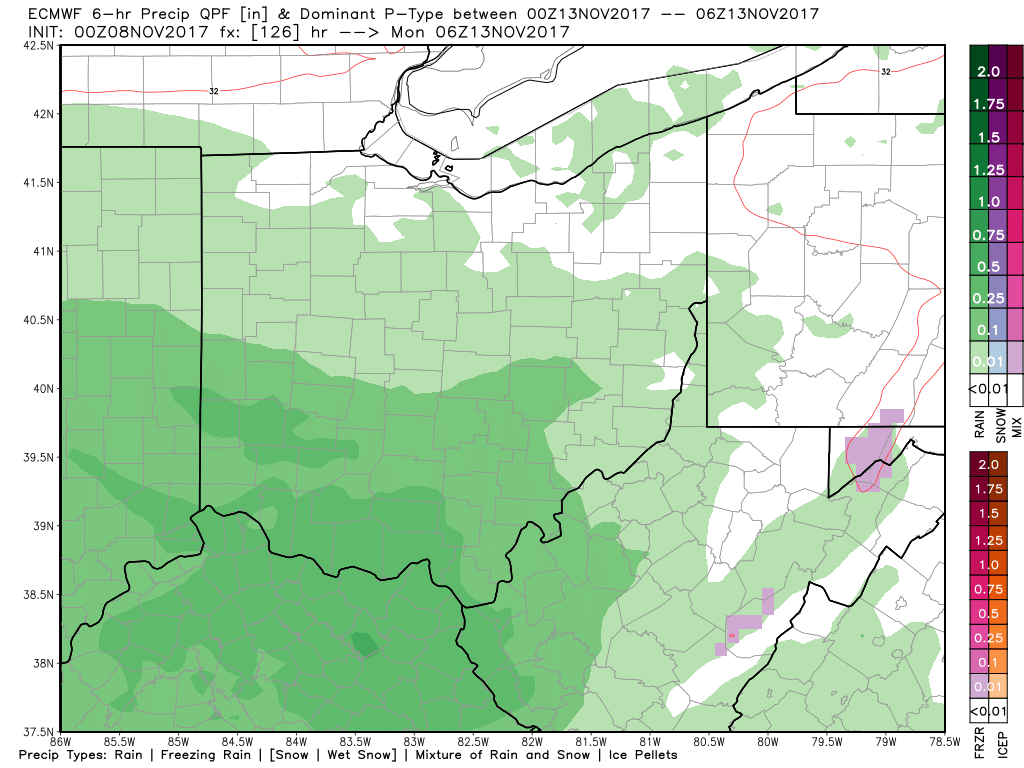
Our next precipitation maker works in early Sunday morning, we think initially there could be some slick surfaces as temps start out in the lower 30s in far northwestern locations but we warm quickly turning precipitation to all rain on Sunday.
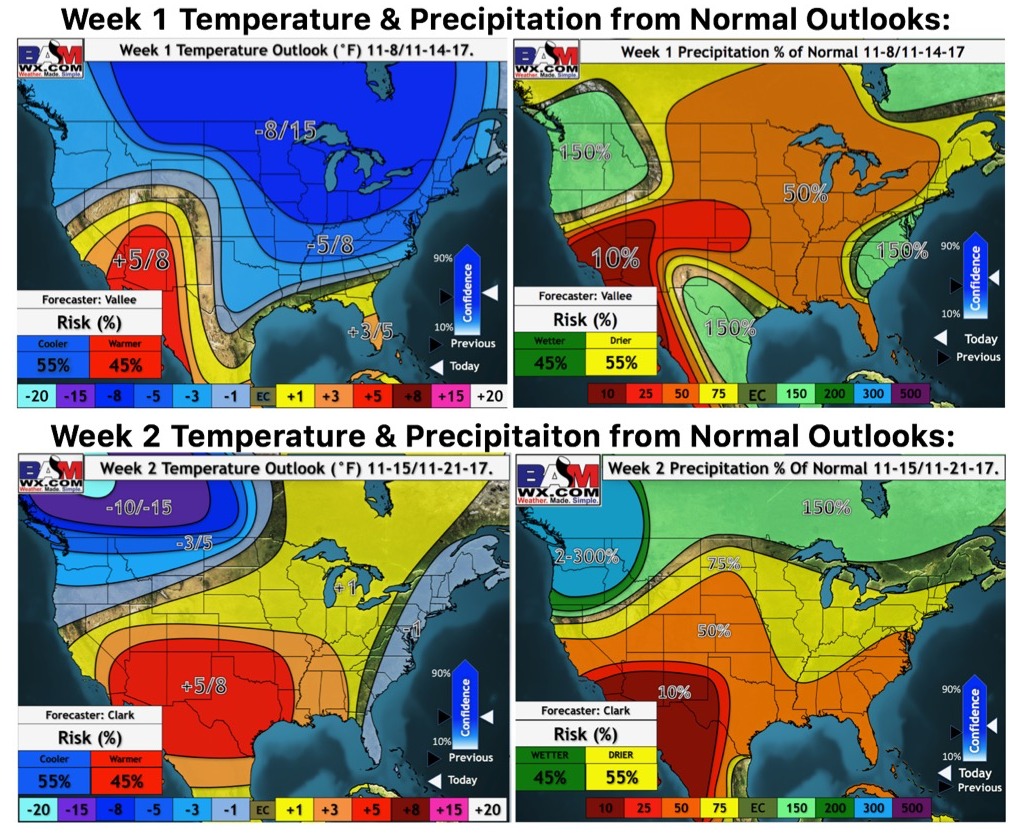
Updated weeks 1 and 2 temperatures and precipitation from normal outlooks: