Today’s video (6 min):
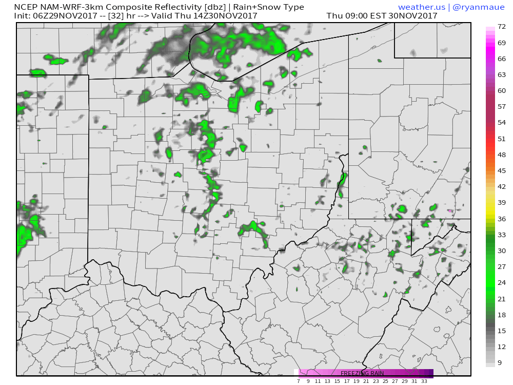
No inclement weather expected today another day of mixed sun and clouds…it’s as we get into Tuesday where a weak front works east sparking some very light showers…south of I-70 ~0.05-0.15″ will be possible…further north likely stays dry:
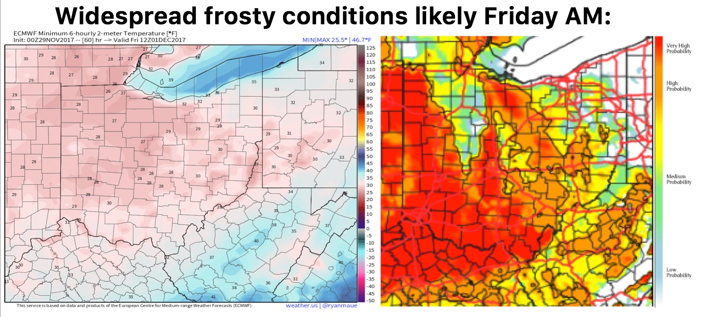
Frosty conditions likely waking up Friday morning:
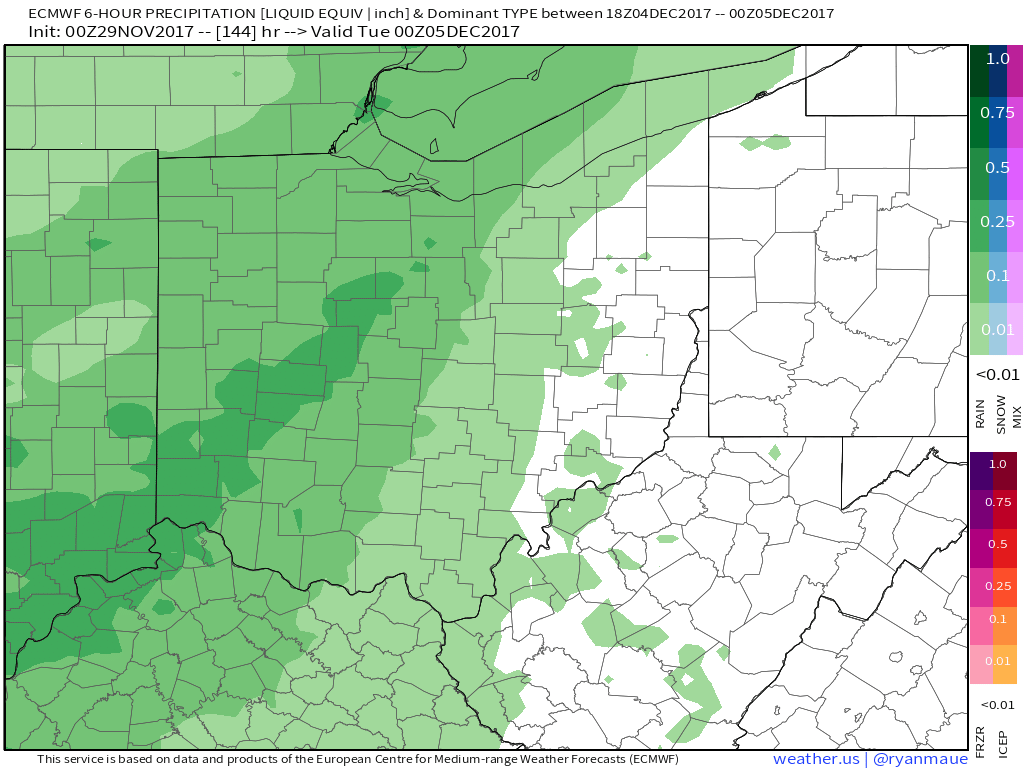
High pressure lingers Friday into the weekend with no rainfall expected at this time and dry conditions persisting. It’s as we get later Monday into Tuesday next week our next robust storm system works into the Ohio Valley from west to east, a few gusty storms will be possible as well. This will usher in a big-time pattern shift getting into mid-next week to much colder temps:
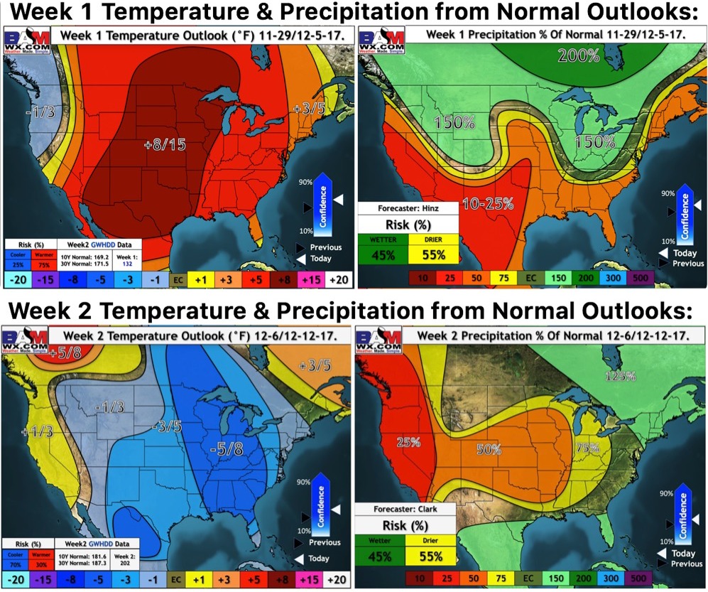
Updated long-range outlooks next 2 weeks shows the pattern evolution to colder next week very well: