Synopsis: Good Tuesday morning! Today will feel more like late October vs. late November with highs in the 60s for most! A weak frontal boundary will push into the state later today and tonight, but we likely see no rain associated with it, just an increase in clouds. The only real chance for rain this week comes Thursday morning, then high pressure builds back in Friday into much of the weekend with a dry forecast, along with temperatures remaining above average. Big changes showing up next week!! We turn more active and then colder. Details in the video below. Have a great day, and let us know if you have any questions!
Today’s video (5:44):
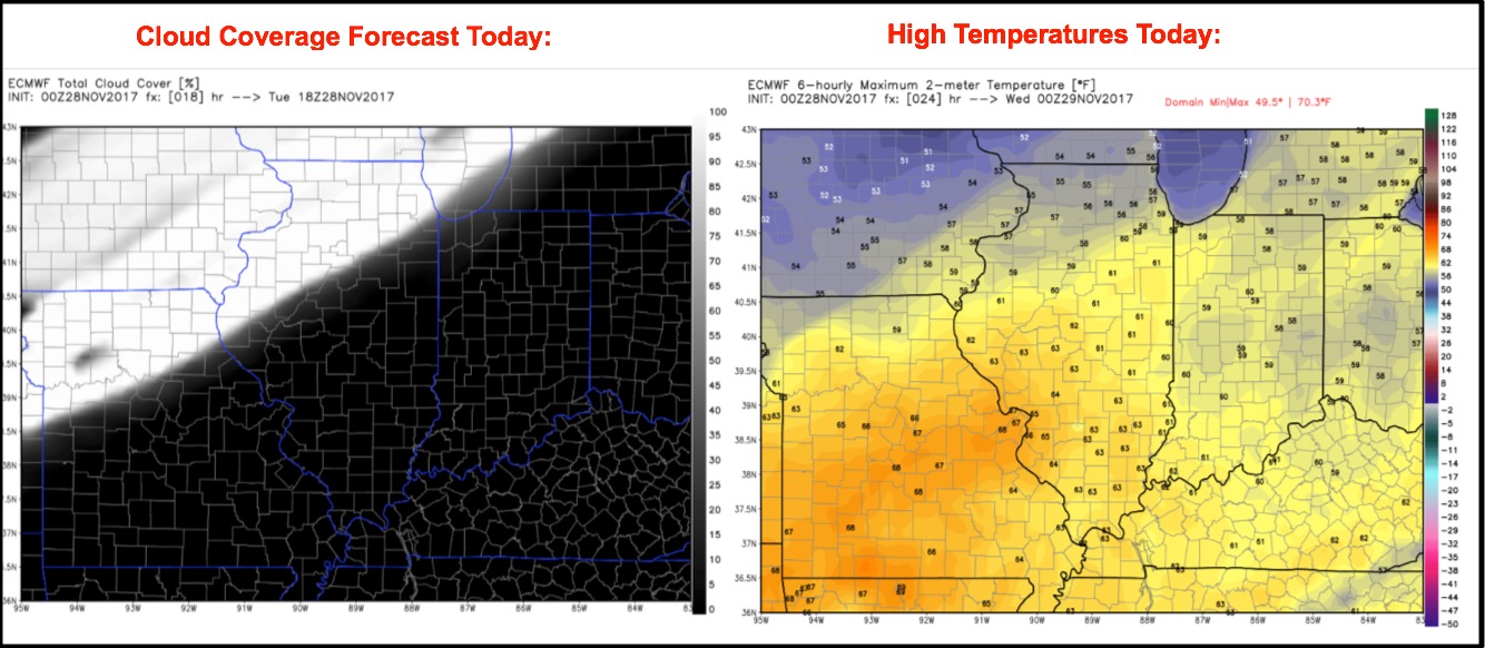
A weak front brings an increase in clouds from northwest to southeast through the afternoon. Highs in most areas reach into the 60s with a breezy south wind, gusting 20-30 mph this afternoon.
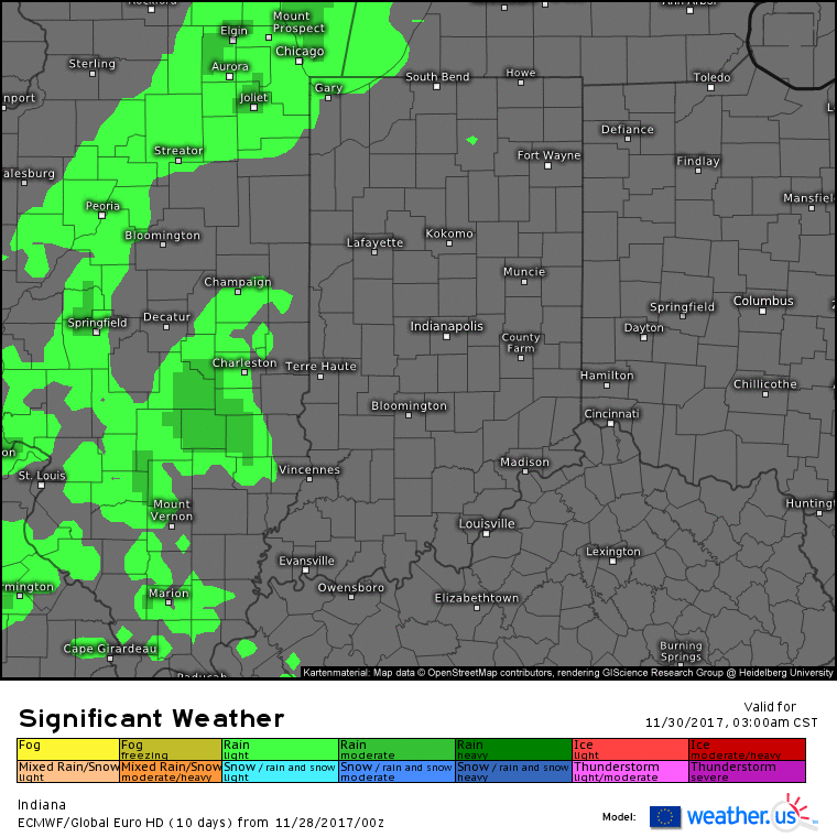
A weak disturbance brings scattered light showers across the state through the first half of the day Thursday, clearing out during the afternoon. Rain amounts will be under a tenth inch for most areas.
High pressure builds back in Friday into the weekend bringing dry weather with comfortable highs in the upper 40s to lower 50s. Big changes next week as we see a more active pattern followed by a shift to a colder temperatures. Watch the upper-level pattern transition from a ridge (warmth) to a consistent trough (cold) as we go from the 7th-15th of December: