11-24-17 Ohio Valley:
We hope you all had a wonderful Thanksgiving! Today’s update is on a regional scale given the lack of weather into mid-next week, a few stray sprinkles possible late tonight/early Saturday morning, otherwise, expecting a lot of sunshine this weekend and mild temps! If you have any questions please let us know, have a blessed weekend! -Kirk
Today’s video:
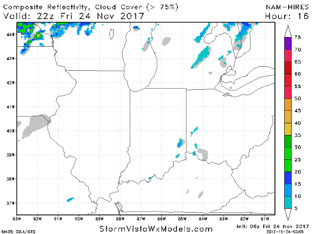
A few light springs possible late this evening into early Saturday morning from west to east…accumulations will be very minimal…likely just a trace. A few lake effect showers mixing with a few snowflakes possible across southern Michigan and northern IN on Saturday as well.
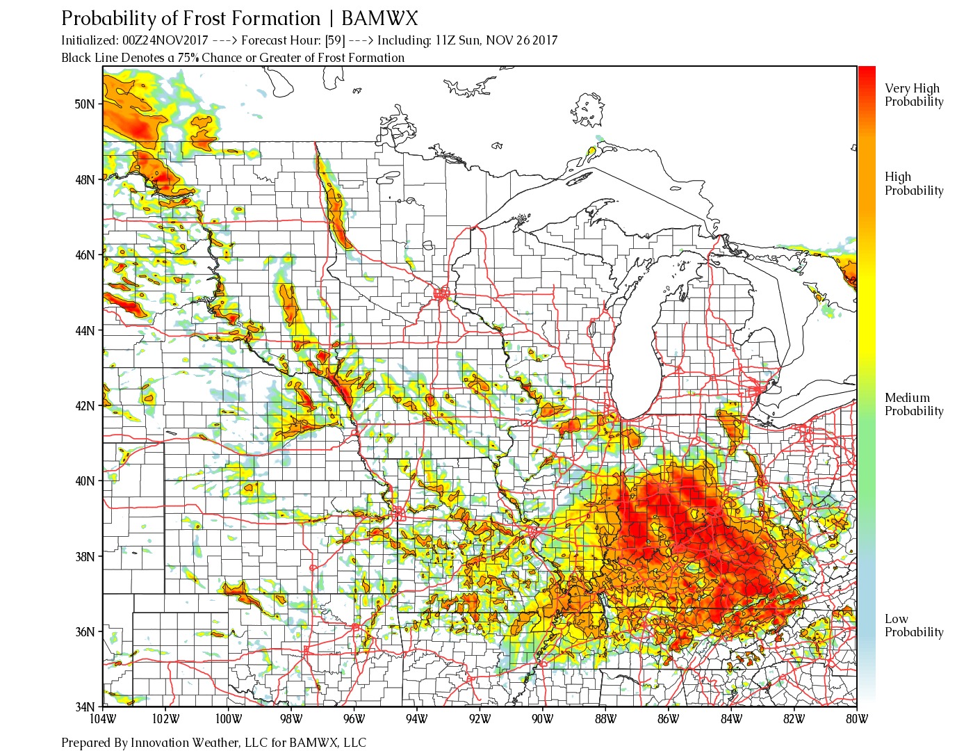
Watching for our next frost threat to surface Sunday morning (highest probabilities in areas in the dark orange/red) as temps drop into the upper 20s/lower 30s…we mention in today’s video a possible patchy freezing fog threat, will monitor closely.
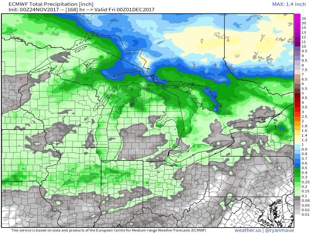
Rainfall guidance over the next 7 days is below….barring the system next Wed/Thurs (can’t rule out a wintry weather threat), little to no inclement weather is expected: