Today’s Northern Plains Update (covering North and South Dakota as well as Minnesota). When the weather becomes more active we will revert back to the individual state forecasts.
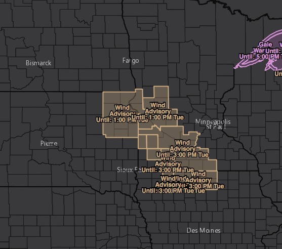
Wind advisory across portions of Minnesota and eastern South Dakota for wind gusts up to 45 mph at times this morning. Winds will decrease some through the day.
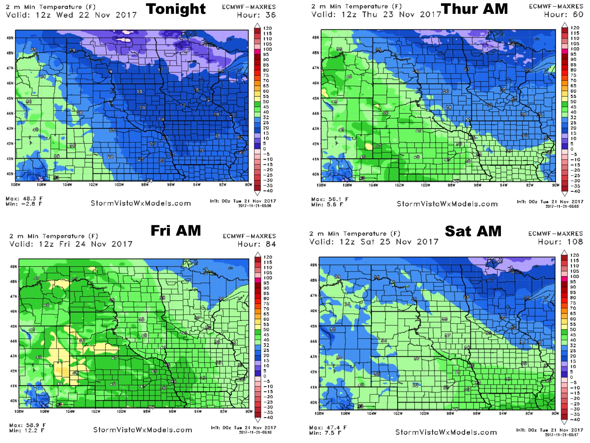
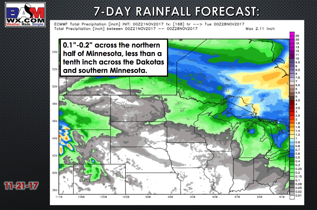
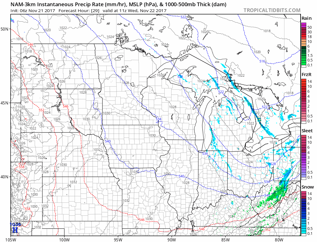
Outside of some lingering snow showers in northeast Minnesota, it’s a dry forecast today as arctic high pressure builds into the area. A weak disturbance will move across northeast North Dakota into north-central Minnesota Wednesday, bringing the risk for some light snow showers. Any snow totals would be well under 1″ but could be just enough to create a few slick spots. Outside of that, travel for most areas will be in decent shape!
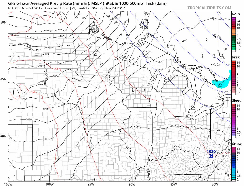
The next threat for precipitation comes on Friday associated with a strong storm system to our north. It will be warm enough for rain with mild westerly winds across the region on Friday. Colder air filters in behind that system for the weekend.
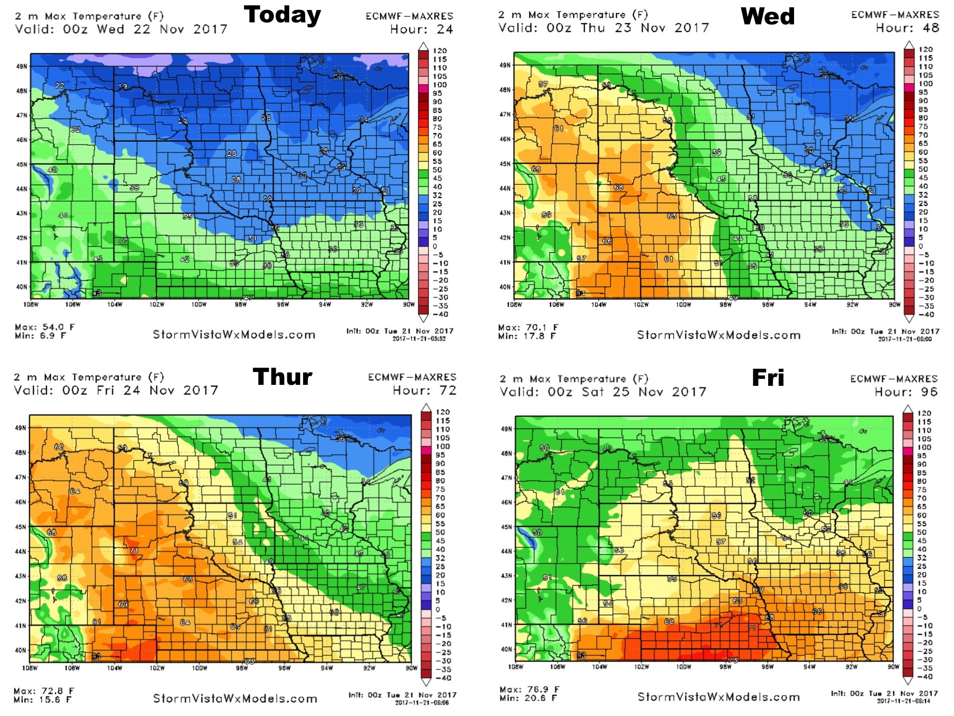
High temperatures over the next 4 days:
Low temperatures over the next 4 days: