11-10-17 La Porte District Forecast
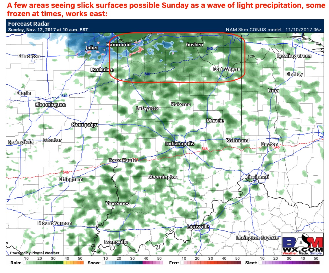
Synopsis: Good Friday morning! This morning we discussed how the lake effect band coming off the lake looking pretty lackluster this morning and not as intense as we had originally anticipated. Light snow continues to fall this morning from east to west across the northern third of the district…exiting west by ~8am as the winds shift off to the east. We continue to see very light precipitation working in on Sunday, can’t entirely rule out a few slick spots as noted below but rainfall accumulations less than 0.1″ is expected. Our next system of interest comes next Wednesday, maybe a few rumbles of thunder possible as well. A more high-impact event is showing increasing potential with wintry implications next weekend, which correlates with our storm date ~18th we’ve been discussing. If you have any questions please let us know, have a blessed weekend! -Kirk
Today’s video (5:45 min):
Can’t rule out a few slick spots Sunday, but precipitation will be very light in a nature: