Today’s Illinois Video Forecast:
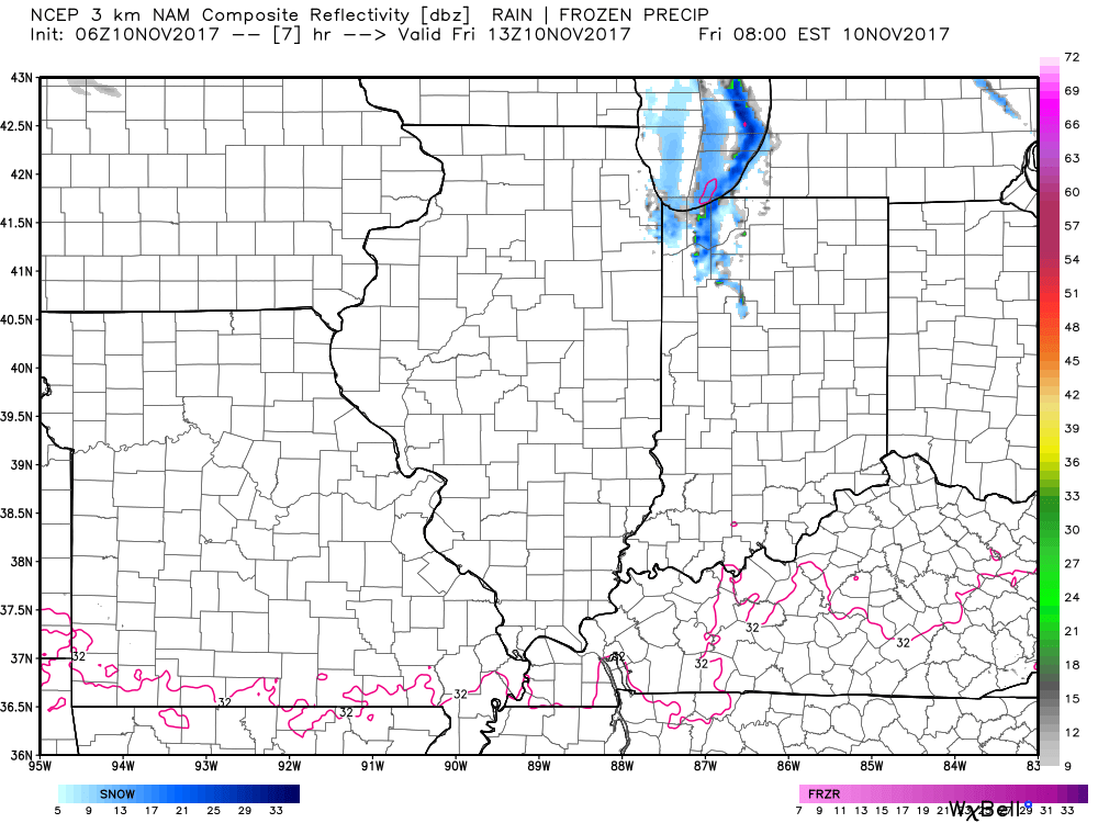
Lake-effect snow showers will mainly affect portions of Cook and Lake counties this morning as winds shift around to the northeast. Portions of Cook and Lake counties could see 1-2″ where these bands set-up near the lakeshore. The rest of the state remains dry with partly sunny skies.
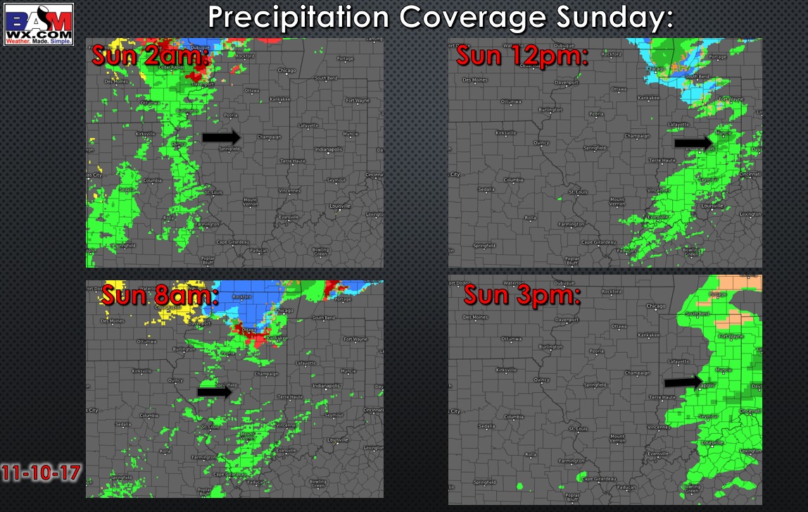
Most of Saturday will be dry and slightly warmer, with partly to mostly cloudy skies. A few showers are possible in northern sections of the area later in the day, but the majority of the precipitation rolls in Saturday night through the first half of Sunday. It does appear northern portions of the state will see a mix of snow and sleet with the rain, and light accumulations cannot be ruled out especially from near Rockford east towards Chicago (north of a Ottawa to Kankakee line). Any accumulations would melt Sunday morning as temperatures climb well above freezing.
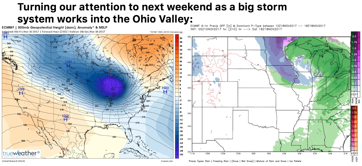
Our next rain chance arrives by late Tuesday into Wednesday, with overall milder temperatures next week. We are watching a stronger storm system showing up on the models about a week from now. This would bring warmth (strong storms?) ahead of it followed by sharply colder air next weekend.