Friday, November 10, 2017 Ft. Wayne District
Synopsis: Good Friday morning! Today we discuss the very light precipitation working east on Sunday, cannot rule out a few slicks spots early on but overall not expecting much in the way of impacts. Attention turns to mid-next week as our next disturbance works east, a few rumbles of thunder will be possible as well. Beyond this, our focus shifts to next weekend with a very potent storm system looks to swing south into the Ohio Valley…if models are correct we need to watch this potential strong storms with strong winds as well as potentially big lake-effect snow event as discussed below. If you have questions please let us know, have a blessed day! -Kirk
Today’s video (6 min):
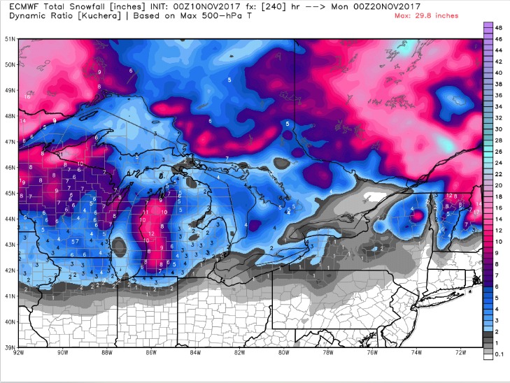
Watching for our next high impact event next weekend, the latest European model shows the potential for additional lake-enhanced snowfall as the low pressure crashes colder air into the Ohio Valley. Don’t take the numbers verbatim, but the “idea” that this scenario produces snowfall is on the table: