Synopsis: Good Wednesday morning. Snow showers working across central Indiana this morning, with areas across southern Indiana seeing more rain mixing in. With temperatures above freezing we are not expecting the snow to stick on the roadways, especially as temperatures will rise through the morning. Perhaps some brief slushy accumulations on the grassy areas, cars, roof tops, etc. We look for a break in the precipitation for many areas later this morning through early afternoon, then showers move in from south to north late afternoon through tonight. We warm-up tonight with a warm front lifting through, and a mild day on tap for Thursday with some additional showers. More rain chances work in this weekend, possibly some thunderstorms Sunday night. Details in today’s video. Have a great day, and let us know if you have any questions!
Today’s video (6 min):
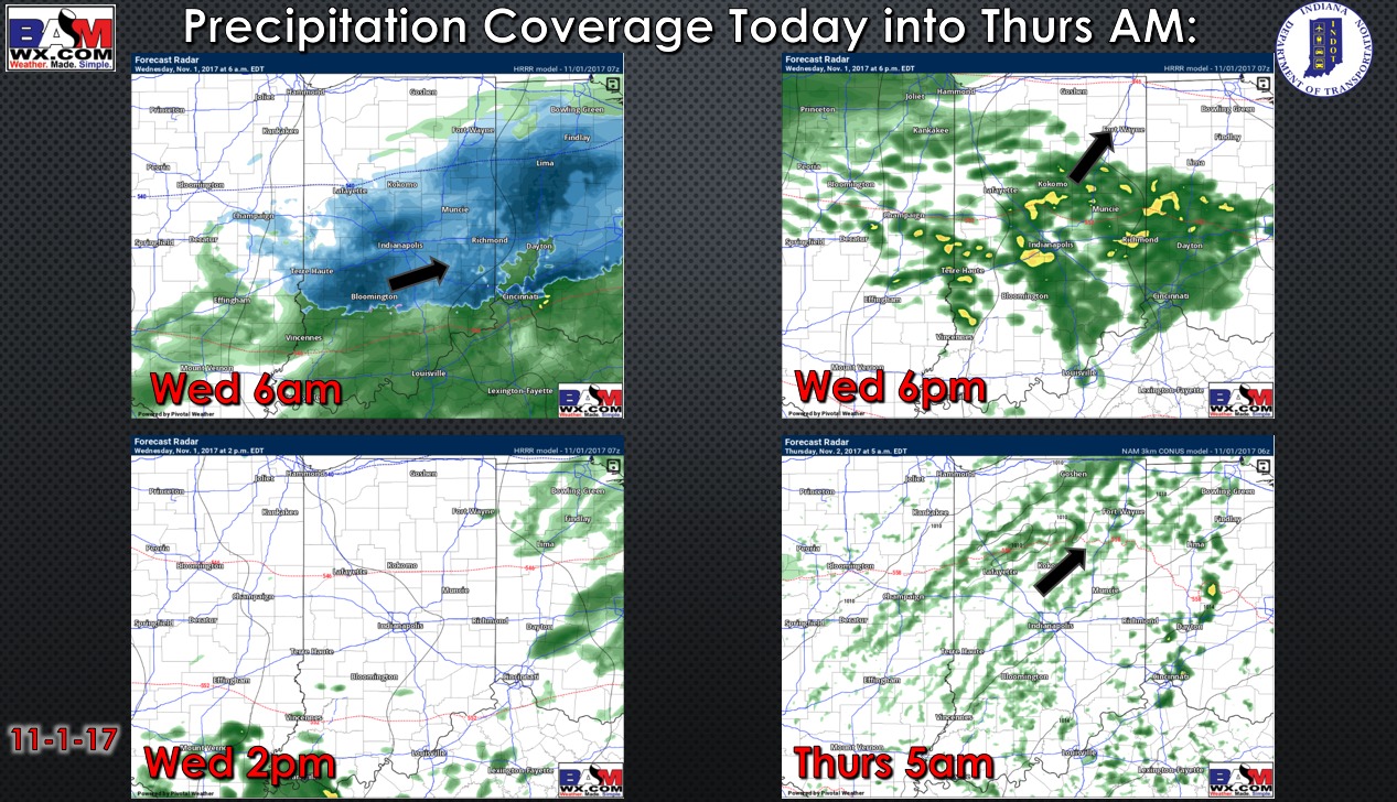
Rainfall coverage forecast for today into Thursday morning:
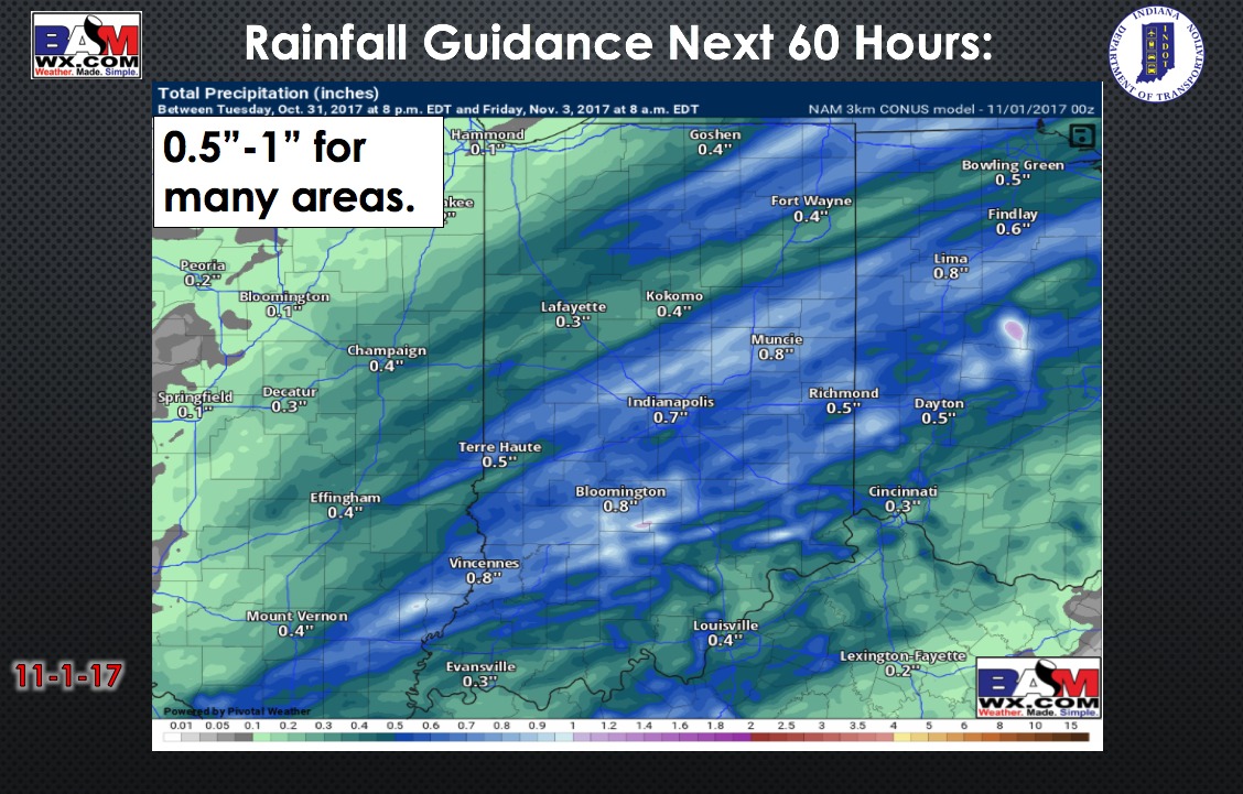
Total precipitation next 60 hours:
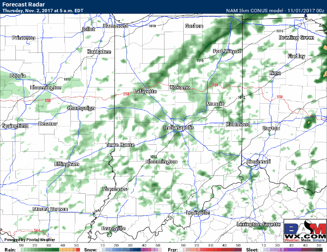
Forecast radar from 5am Thursday to 8am Friday is shown below. Notice drier weather works in across southeast Indiana through the day tomorrow, while areas across central, western, and northern Indiana hold on to some shower chances. A cold front works through Thursday night bringing additional showers from northwest to southeast across the state. Briefly drier for most of the state Friday as the front pushes just south of the Ohio River.