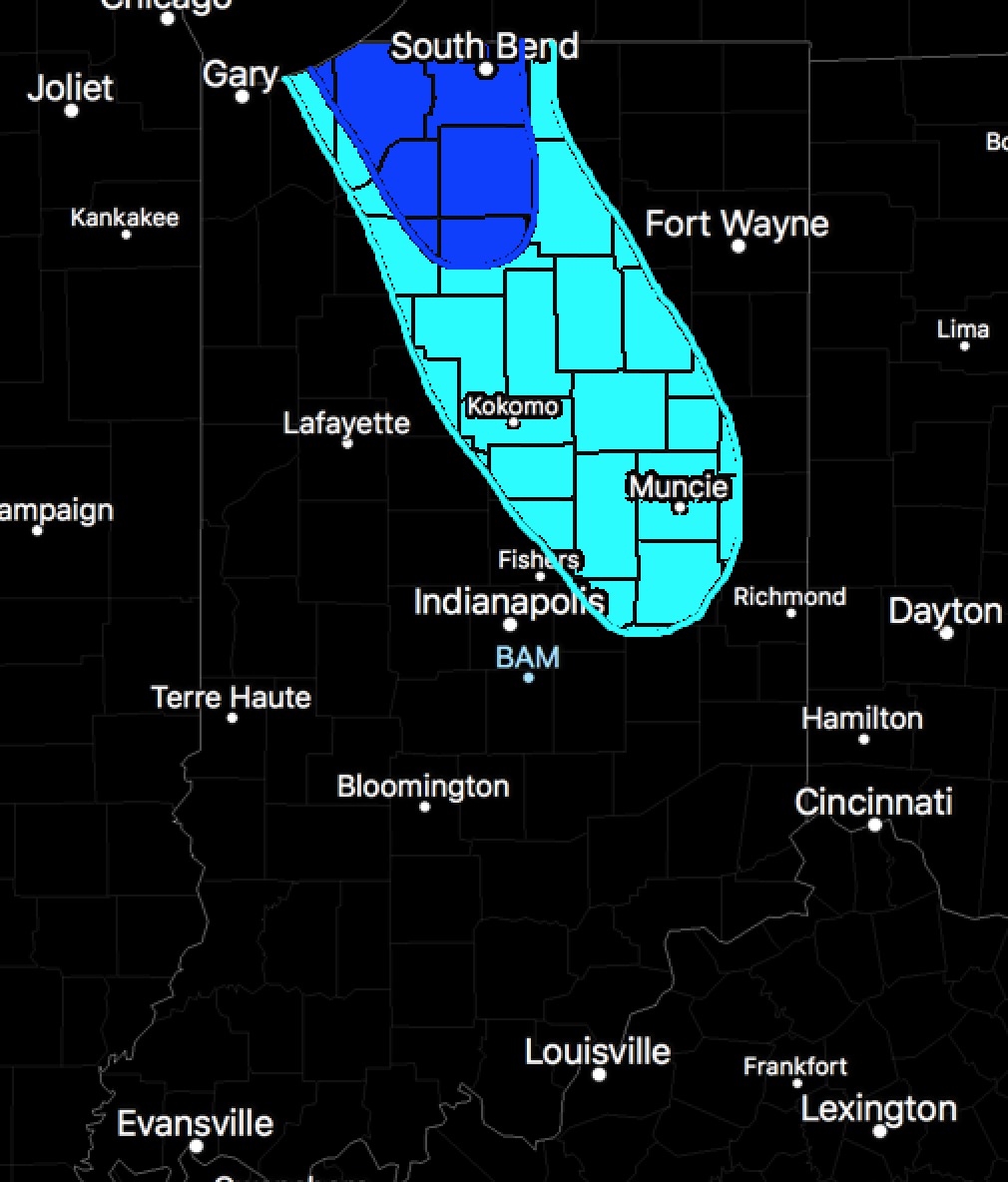
10:45 AM EST UPDATE: Wave of snow showers continues to move across the state, and has produced 1-2″ in northern Indiana, dusting up to an inch in central Indiana, and a general dusting across southern Indiana. This wave of flurries/snow showers will continue to move east. Lake-effect snow is starting to ramp up across Porter, La Porte, and St. Joseph counties, and we will be watching for lake effect snow bands to ramp up as we go through the afternoon pushing southward. We have circled the areas where we think we need to watch for these lake-effect bands to move in this afternoon into the evening and produce additional accumulations:
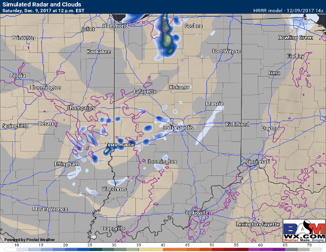
Here is the forecast radar between 12pm and 9pm EST. Additional areas of snow showers develop across central and eastern sections of the state, along with the lake-effect snow bands progressing further southward by mid-afternoon.
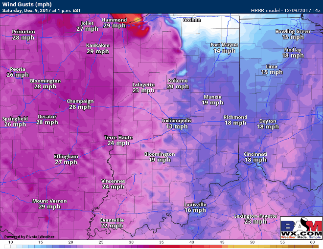
Winds are coming out of the west right now, and expect a gradual shift to the northwest as we go through the afternoon, becoming increasingly gusty up to 30mph (locally higher in intense lake-effect squalls). This increasing northwest flow will allow the lake-effect bands to push further south through the afternoon. Forecast wind gusts shown below: