
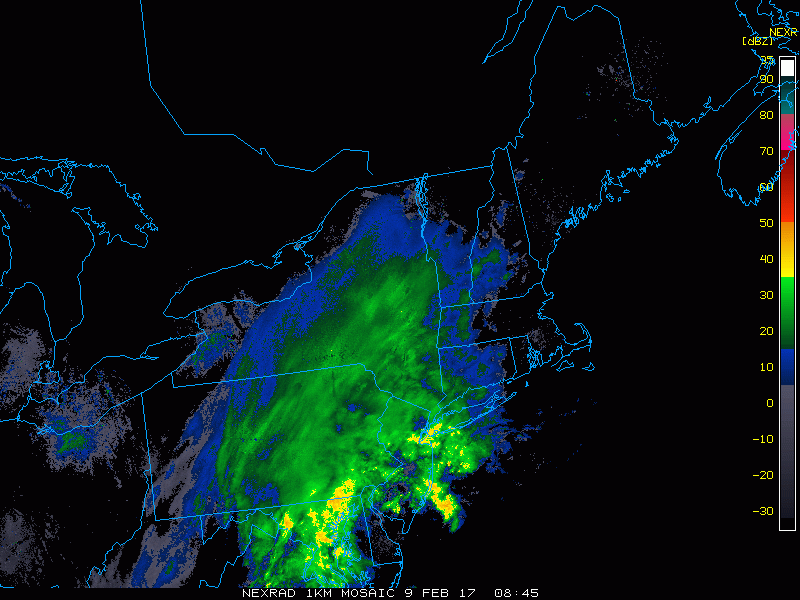
The rain/snow line continues to crash southeastward as snow cools the atmosphere this morning. Here’s the radar as of 5:5o AM.
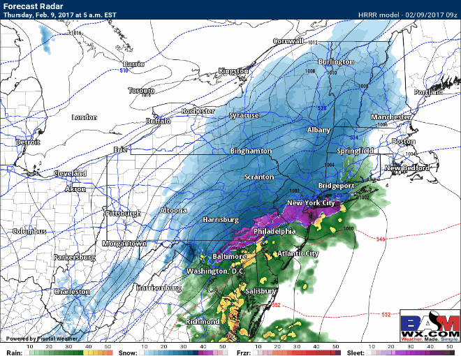
 Snow will quickly wind down this morning across western and central PA after a widespread 3-6″ has fallen, with locally some places picking up around 8″. Snow will continue to intensify across southern New England this morning and traveling is absolutely not recommended. Here’s the forecast radar throughout the day today – snowfall will be coming down at 2-4″ per HOUR for a time.
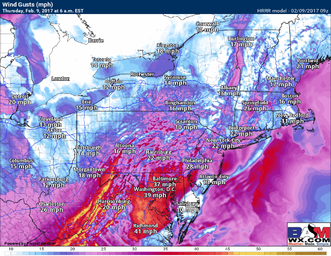
Winds will also be quite impressive as the storm strengthens off the coast. Here’s the latest wind forecast through tonight.
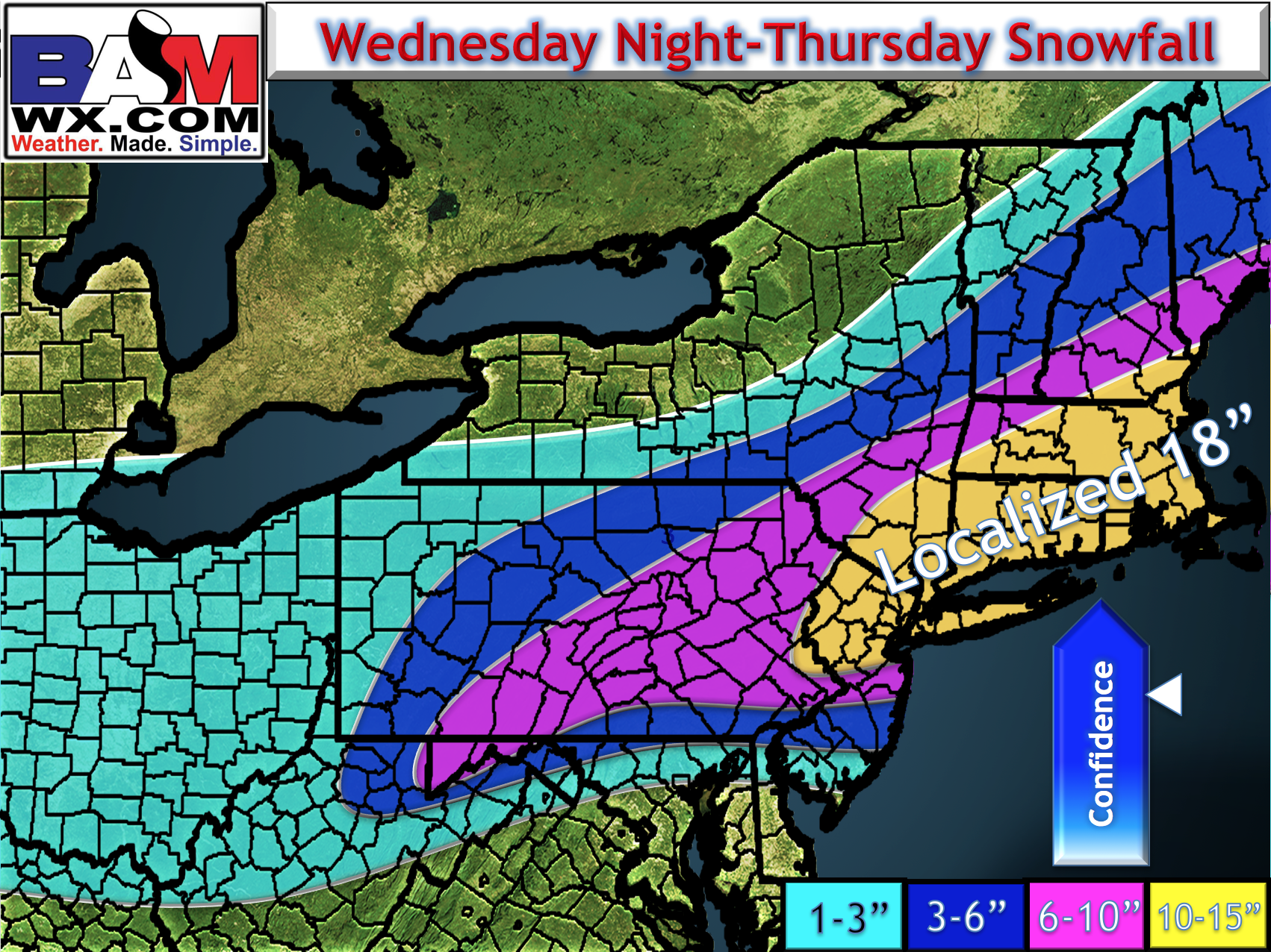
The snowfall forecast remains unchanged for most this morning, with locally 18″ of snow possible in some of the steadiest bands. I did lower some amounts on the southern edge of this system and raise amounts on the northwestern edge given recent radar trends. The one saving grace here is that it is a very fast moving storm. Here’s the latest.
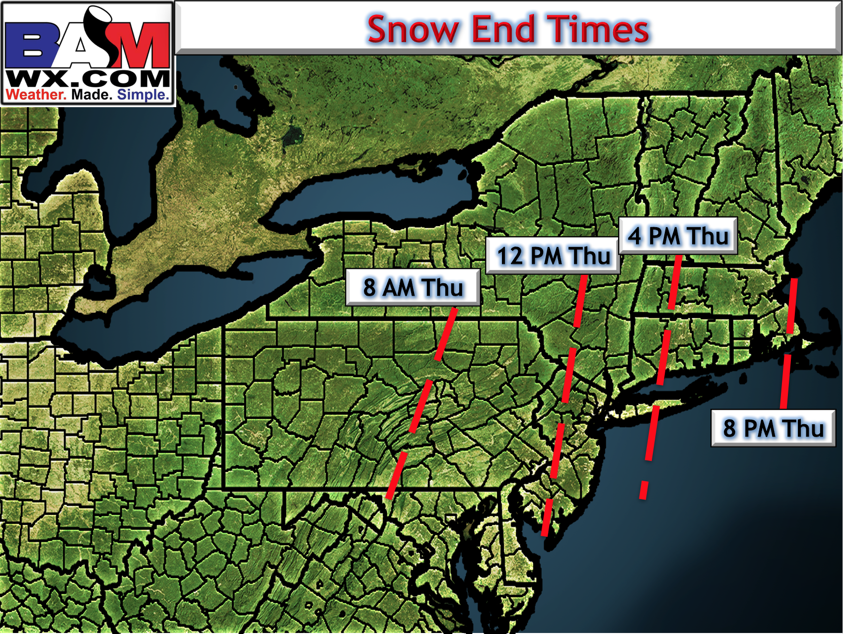
Snow will wind down this morning across PA and this afternoon across NYC and southern New England. Here are some updated end times.
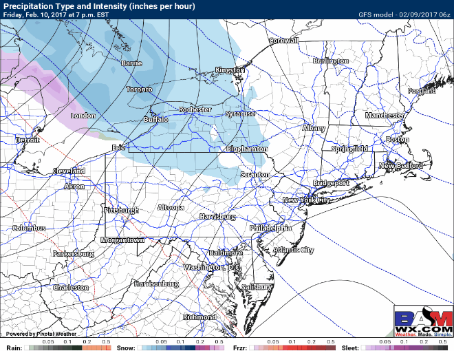
Also of note, some additional snow is coming Friday night into early Saturday, generally accumulating 1-3″. I’ll have more on that later today. Here’s the GFS.
Today’s video is a good one. Give it a watch. ~Ed