
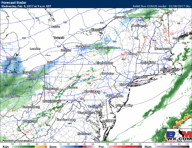
Good morning! We continue to track some snow that will move through the region this afternoon and tonight with some accumulation especially north of I-70. Here’s the latest radar as of 6:15 AM.

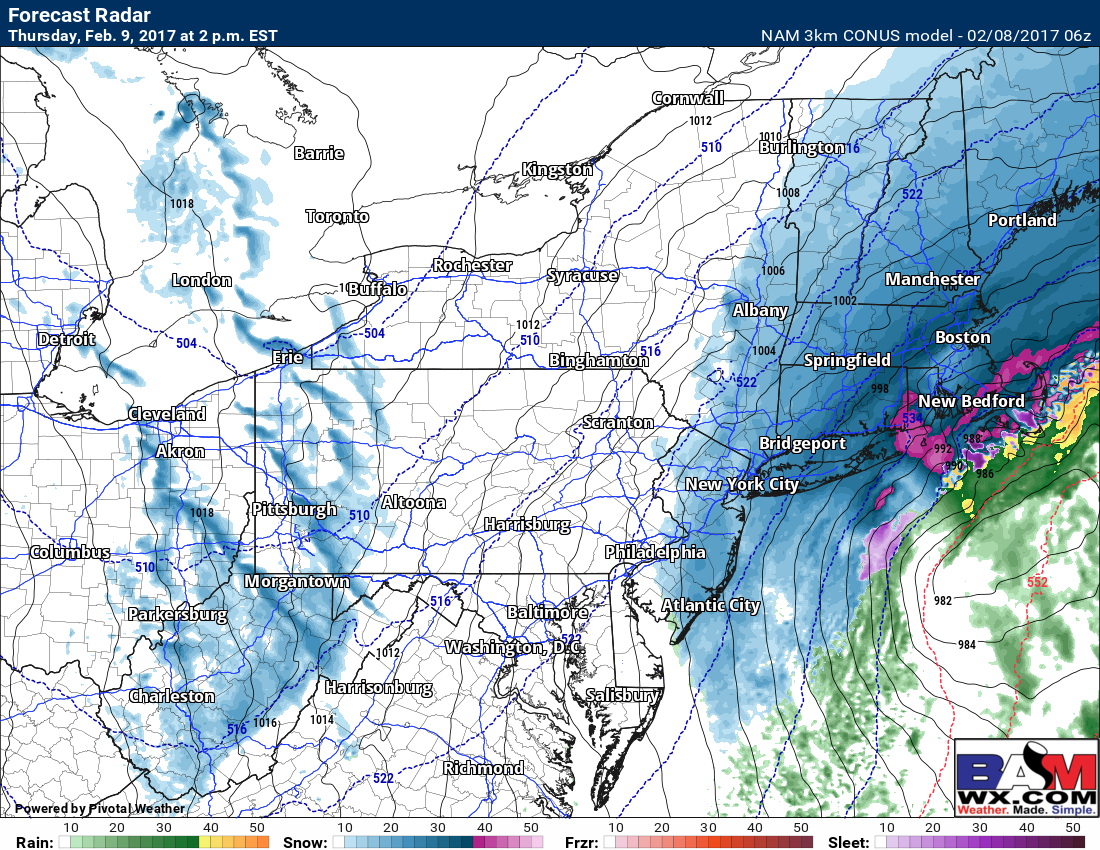
Rain and snow will overspend eastern Ohio, northern WV and western PA this morning before changing to all snow this evening as colder air rushes into the region. Here’s the projected radar this afternoon into the overnight. Once any mix changes to moderate snow, it will only last 4-6 hours. This will be a quick mover!
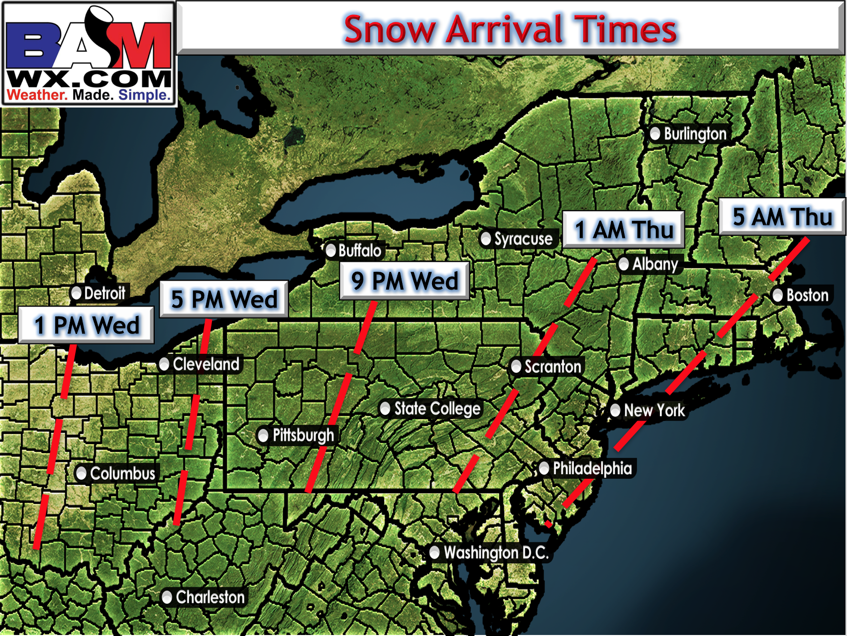
Here’s a peek at the arrival time of snow as well.
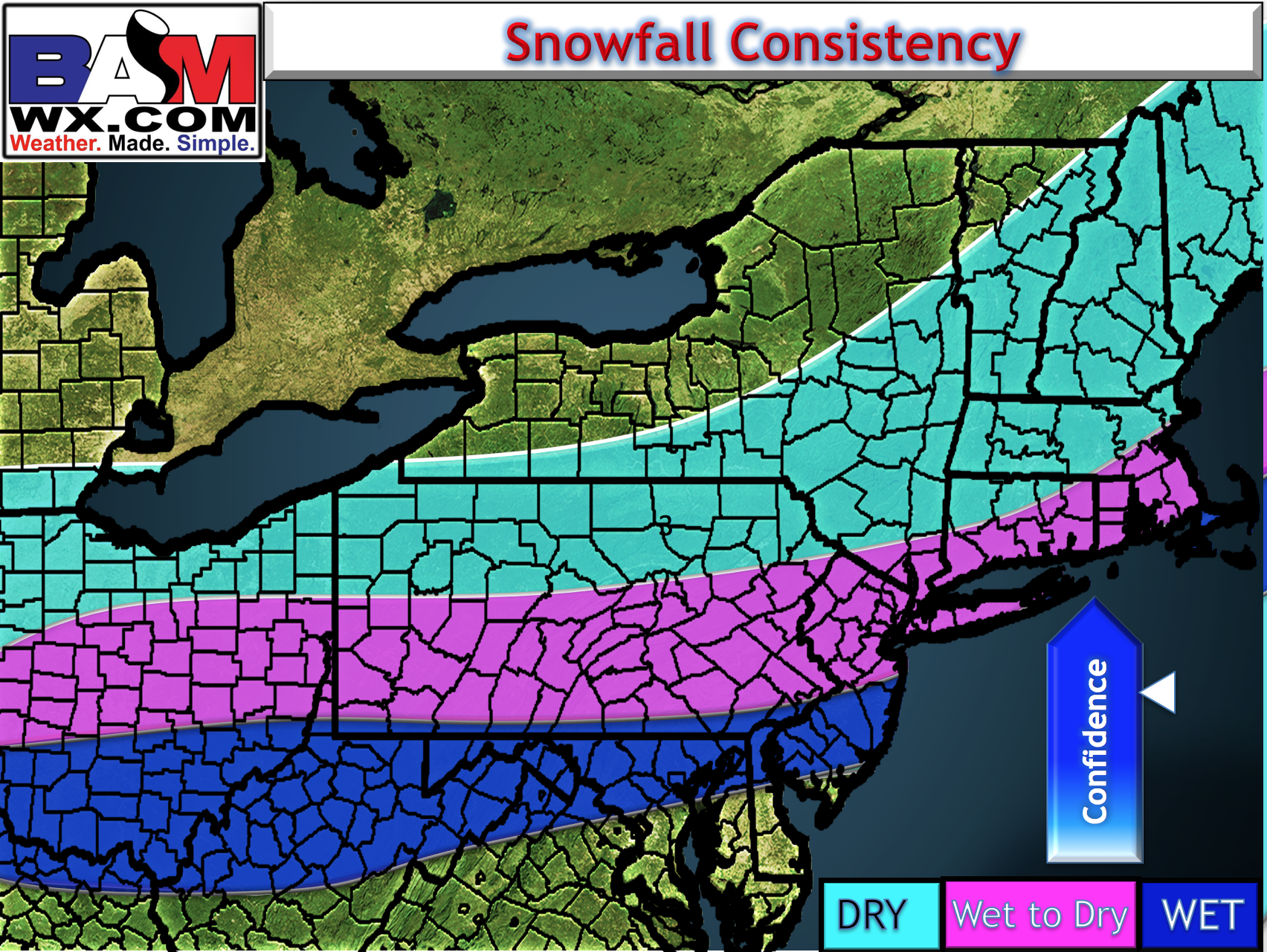
Snow will start slushy then as colder air works in, should dry out and become easy to move. Here’s the expected snow consistency.
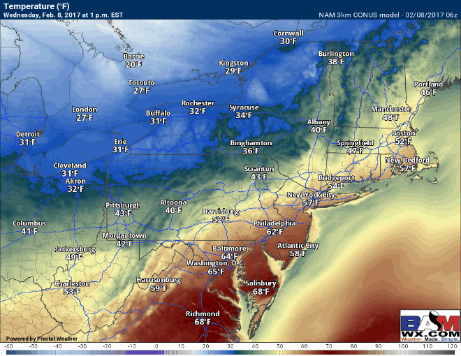
Temperatures throughout the event will start warm this afternoon, but should fall rather quickly once the snow starts falling later this afternoon and evening. Some flash freeze concerns will exist on untreated surfaces along with the snow.
Here’s a look at our snow map for the event as a whole. Snow intensity and impacts will be worst likely between about 5pm and 1am in Ohio and 8pm and 3am in western PA before tapering off from west to east.

During the day tomorrow, some additional snow showers will likely impact the region but accumulations look light- just watch for some slick spots!
Today’s video covers it all. Have a great day! ~Ed