
Key Points – Monday, February 13, 2017 – weekend
Synopsis: Welcome to a new week, thanks for checking out our latest post this morning! The forecast is fairly quiet over the next 7 days across the Midwest there’s little doubt about that. Today we will see mostly sunny skies with highs mainly in the 40s with a light southwest wind…a few gusts up to 15-20mph possible north of I-70 into the afternoon/evening hours. There is a small chance for an isolated shower late tonight into Tuesday morning from St. Louis stretching east to Cincinnati and locations south…a 0.10″ or less expected since there will be a lot of dry air at play. Otherwise, Tuesday will be partly sunny with highs in 40s to lower 50s. More mix of sun and clouds expected on Wednesday, definitely chillier with highs mainly in the 30s with scattered lake effect snow showers possible across southern Michigan, northern IN into NW Ohio (these make stick around through Thursday morning). More quiet weather expected Thursday into the weekend, we gradually warm late week into the weekend as well. To put into perspective how warm we are talking, we are expected highs Friday to be mainly in the 50s, 50s-60s for Saturday and widespread 60s to maybe even a few 70s on Sunday…just some incredibly warmth settling in (which should be no surprise if you’ve been watching the long-range videos). In terms of precipitation over the next week, very minimal at best…many locations likely to see nothing at all, which is quite incredible for this time of year. Make sure to check out today’s long-range video later this morning as we touch on a return to a wetter week 2 and the pattern beyond!
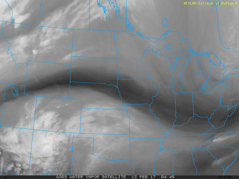
Latest look at a regional water vapor satellite loop across the area reveals A LOT of dry air working into the Midwest this morning…expecting skies to be mostly sunny today.
Highs today mainly in the 40s, Illinois folks near the border of Iowa and Missouri will be slightly warmer, potentially seeing 50º today.

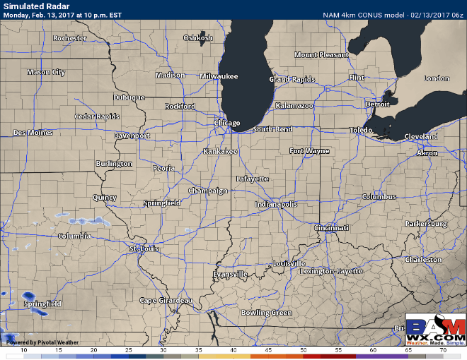
A few showers possible overnight as a small stream of energy pushes west to east into Tuesday morning…main focus will be from St. Louis east to Cincinnati and folks south near the River…accumulations of 0.10″ or less expected, a lot of dry air will be at play.
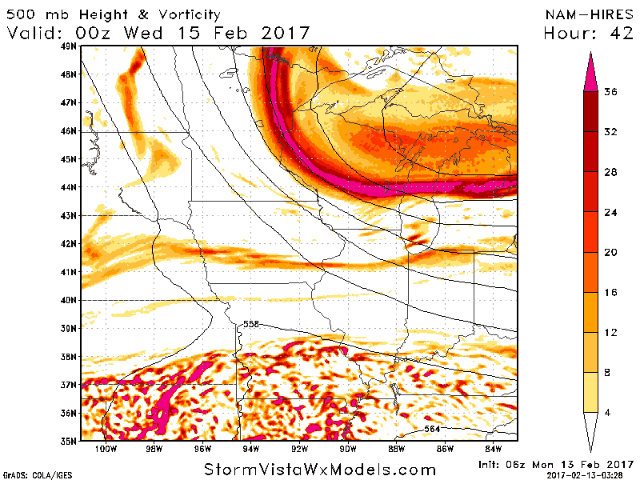
Moving more into mid-week, expecting conditions to be chillier on Wednesday with highs back into the 30s, a stream of energy moves from north to south late Tuesday night into Wednesday…a few lake effect snow showers will be possible across southern Michigan, northern IN into NW Ohio with northwest winds moving over warm Lake Michigan. At this time, accumulations expected to be light, less than an inch.
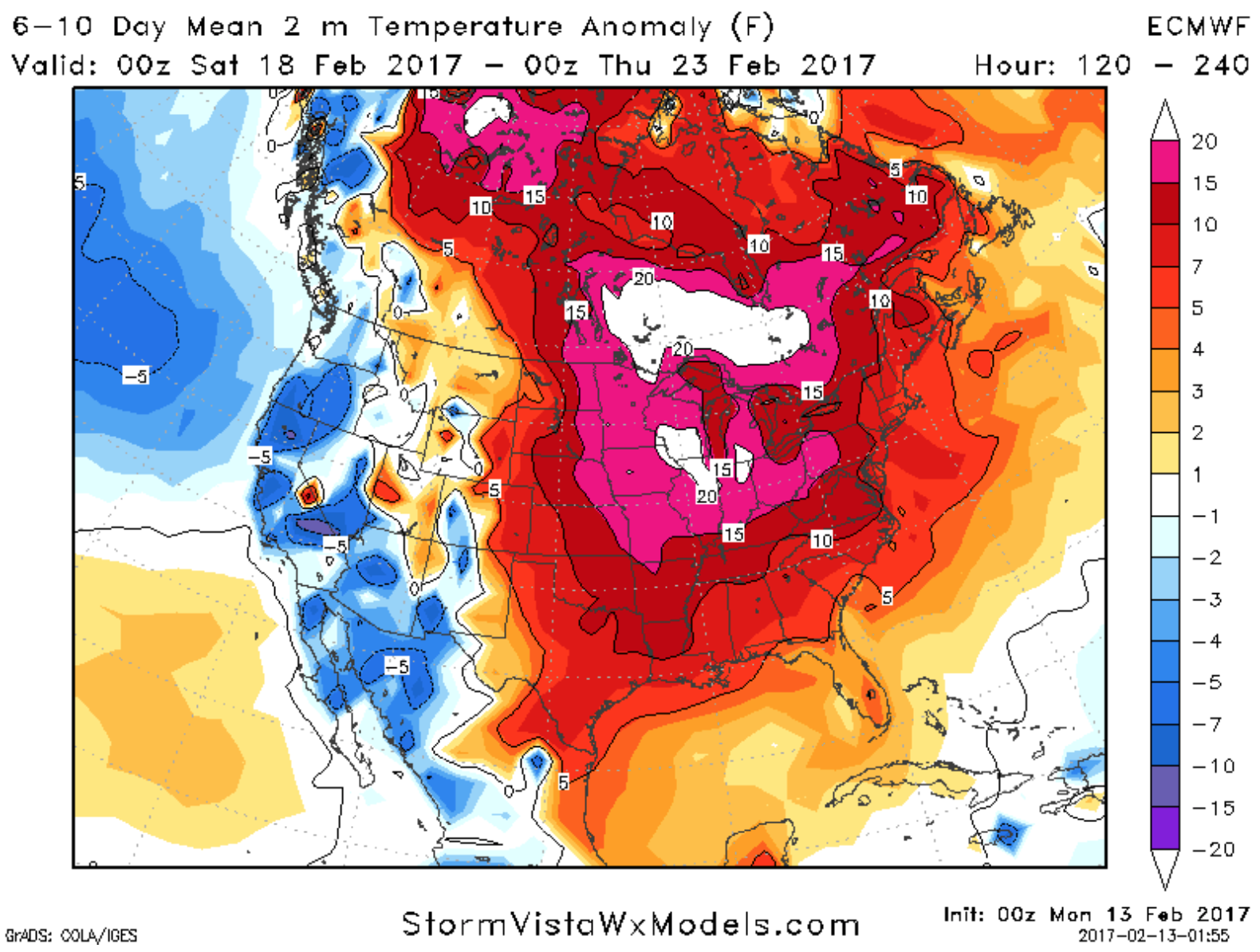
The second half of the week into the weekend will be quiet once again in terms of weather with a mix of sun and clouds…temperatures warm up significantly by late week into the weekend…we expect widespread upper 40s to 50s on Friday, 50s to 60s on Saturday, and widespread 60s to even a few 70s expected across the Midwest on Sunday. To put that into perspective, the average normal high this time of year is in the upper 30s, so 50s to 60s is 15-20º+ above normal as seen below.
To get an idea of how dry the forecast is over the next 7 days, below is the rainfall totals for the next week…as mentioned in the synopsis, many locations across the Midwest may not even see a drop of precipitation, which is incredible considering it’s February.

We will have a long-range post updated later this morning digging into the pattern beyond this week, things look to get a little more active into week 2, but the warmth looks to remain…for now.
Confidence and Risk:
- Above average confidence in a quiet weather-week across the Midwest with very little precipitation expected.
- Above average confidence we are above normal in temperatures overall over the next 7 days as well.
- Average confidence in a few rain showers possible from St. Louis east to Cincinnati and folks south late tonight into Tuesday morning.
- Increasing confidence of scattered lake effect snow showers across southern Michigan, northern IN into NW Ohio Wednesday into Thursday morning.