Video:
Good Wednesday Morning!
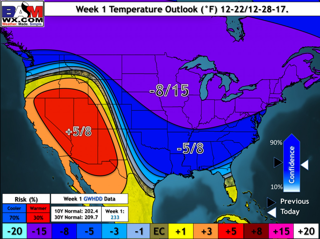
We are tracking a few chances for accumulating snow in the northern third of Missouri throughout this week and record breaking cold! In fact, many stations in Kansas and Missouri broke daily low temperatures this morning!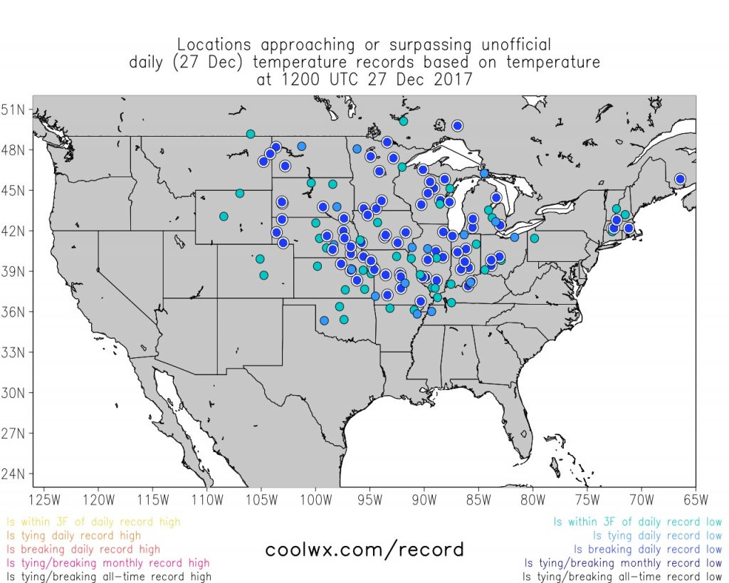
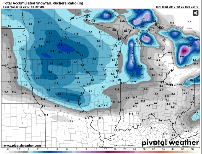
The first chance for some snow will come late this evening and into tonight. Only the Canadian Model is picking up on this snow chance at the surface for Northern Missouri, but given a robust piece of upper-level energy diving through Southern Iowa and Northern Missouri and the arctic air mass in place, I would expect snow to be squeezed out and produce some light accumulations.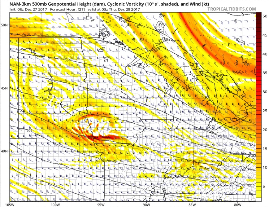
The Canadian is picking up on the potential for an inch in the northeast corner of Missouri.
We are also going to watch a couple of pieces of energy that will slide just to the north on Friday and Saturday. Any adjustment south could lead to increased chances of snow on those days. 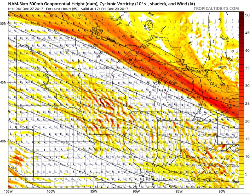
Overall, the bigger story will be the arctic air mass that will settle into the United States. Well below normal temperatures could produce a few below zero nights (Monday morning shown below) especially in Northern Kansas and Northern Missouri and areas with a snow pack.