Video:
Trends have been for a period of heavy rain to clip the extreme southeast portion of Kansas this evening into tomorrow with a brief changeover to snow possible. Meanwhile, snow will begin pushing into Western Nebraska late Friday and work to the east across most of Nebraska Saturday and into Northern Kansas Saturday night.
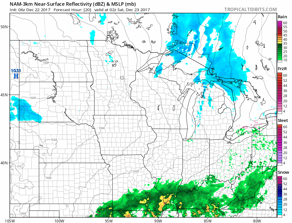
Overall, a general 1-2 inches is likely in Western Nebraska and Northern Kansas. However, given frontal forcing and cold temperatures, locally higher amounts and heavy snow bands are possible. The Hi-Res NAM model is showing this potential very nicely in Northwest and Southern Nebraska. Iowa will stay mostly dry throughout this event but a dusting cannot be ruled out in scattered snow showers.

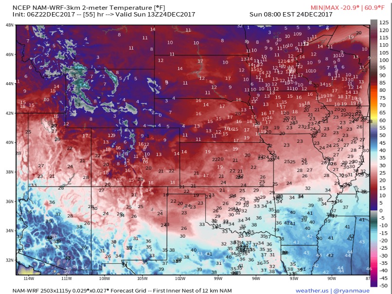
Behind this snow, cold air will filter into the Central US and with a solid snowpack in place over much of Nebraska, temperatures will be bitter on Christmas Eve Morning.
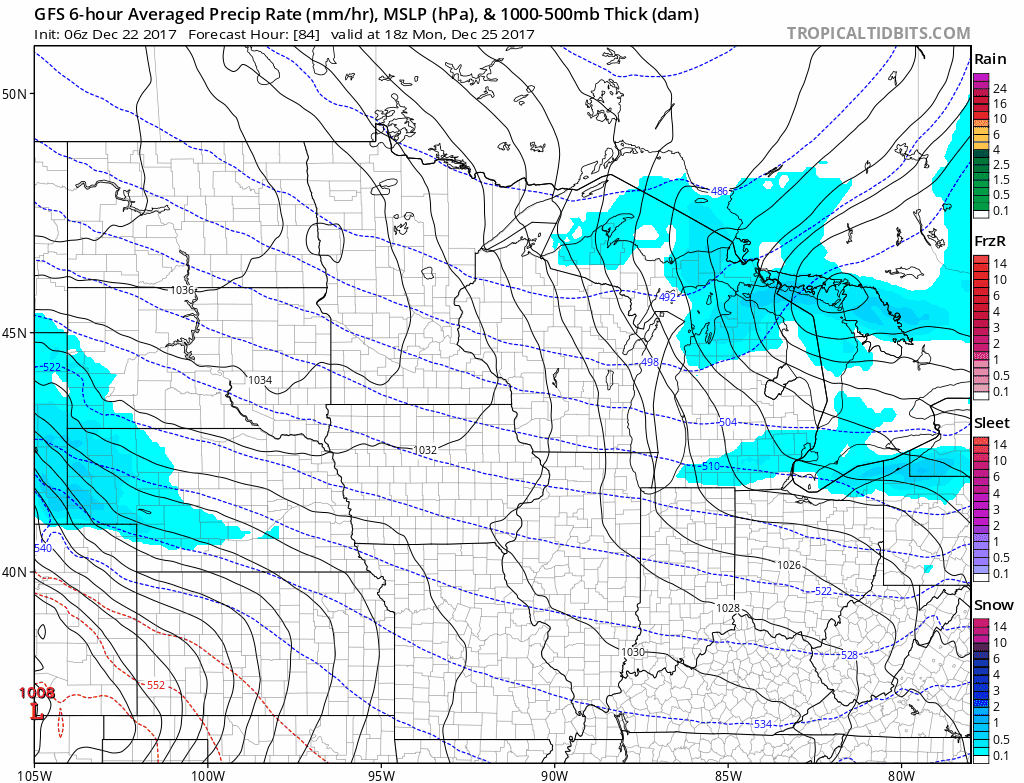
We will be watching another wave of energy Christmas Evening into Tuesday that could produce additional snowfall, especially in Nebraska. However, this does look more promising for potential accumulation in Southwest Iowa.