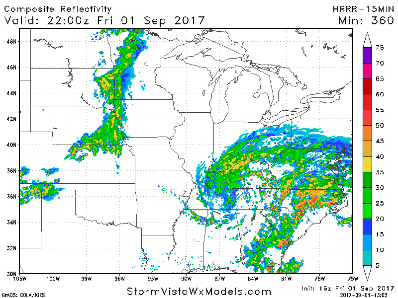
BAMWX Logo
  • Log In
    • Clarity by BAM Log in
    • Commodity | Forensic Log In
  • Learn
    • Press Releases
    • BAM Weather Blog
      • Success Stories
      • Weather Education
      • Weather Headlines
      • Use Cases
      • Industry News
  • Contact Us
    • Sales Inquiries
    • Customer Service

Uncategorized

  • Home
  • Uncategorized
  • Page 1,216
28
Jul
By Chief Meteorologist Michael Clark

#MAwx #CTwx #RIwx #PAwx #NYwx #NJwx Saturday Coastal Storm Update.

Good Friday morning. The video below details the Northeast storm threat this weekend. Have a great day! -Ed http://youtu.be/EuJYpTqDXaY?hd=1
Read More
#NDwx #SDwx #MNwx #WIwx Sct’d storms through the weekend…temps stay elevated here as well. K.
28
Jul
By Vince Bryan

#NDwx #SDwx #MNwx #WIwx Sct’d storms through the weekend…temps stay elevated here as well. K.

Key Points - Friday, July 28, 2017: Synopsis: Good Friday morning! A little better focus of storms later tonight across the Dakotas, we see another decent wave move east across the western half of the Dakotas later Saturday night into Sunday morning. Coverage likely ~40% coverage, models will have a…
Read More
#NEwx #KSwx #MOwx #IAwx Heavy rains possible west…overall cooler pattern settles in. K.
28
Jul
By Vince Bryan

#NEwx #KSwx #MOwx #IAwx Heavy rains possible west…overall cooler pattern settles in. K.

Key Points - Friday, July 28, 2017: Synopsis: Good Friday morning! Today we discuss the rainfall and storm risks focused across the western parts of the forecast area through the weekend, locations further north and east will remain drier with comfortable temperatures. The drier pattern lingers into early next week…
Read More
#ILwx #INwx #OHwx #KYwx Very nice weekend ahead, much cooler temps settle in. K.
28
Jul
By Vince Bryan

#ILwx #INwx #OHwx #KYwx Very nice weekend ahead, much cooler temps settle in. K.

Key Points - Friday, July 28, 2017: Synopsis: Good Friday morning! After we get through the fog and humidity today it's going to be an "autumn-like" weekend. A few showers continue across the Ohio Valley and will linger closer to the River through ~lunch time, but into this evening relief…
Read More
27
Jul
By Chief Meteorologist Michael Clark

Northeast Video Update: Uncertainties in Rainfall Forecast. E.

Good Thursday morning! The video below discusses the uncertainties regarding the Friday-Sunday forecast. If you have questions, don't hesitate to reach out. Have a great day! -Ed  http://youtu.be/U59pBsyF-xQ?hd=1
Read More
#NEwx #KSwx #MOwx #IAwx Rains focused south & west, cooler pattern settles in. K.
27
Jul
By Vince Bryan

#NEwx #KSwx #MOwx #IAwx Rains focused south & west, cooler pattern settles in. K.

Key Points - Thursday, July 27, 2017: Synopsis: Good Thursday morning! Today we discuss the rainfall setting up shop mainly south and west across the forecast area as we head into the weekend, drier conditions will work their way in across the eastern parts of Nebraska into Iowa...a much cooler…
Read More
27
Jul
By Chief Meteorologist Michael Clark

#NDwx #SDwx #MNwx #WIwx Scattered storms focused mainly west into the weekend. N.

#NDwx #SDwx #MNwx #WIwx Scattered storms focused mainly west into the weekend. N. Good Thursday morning! Synopsis:  The best storm chances over the next few days will remain confined over the western half of the region.  Not expecting anything overly widespread, with marginal severe risks over the western Dakotas into…
Read More
#ILwx #INwx #OHwx #KYwx Showers (some heavy) linger today, very nice weather works in this weekend! K.
27
Jul
By Vince Bryan

#ILwx #INwx #OHwx #KYwx Showers (some heavy) linger today, very nice weather works in this weekend! K.

Key Points - Thursday, July 27, 2017: Synopsis: Good Thursday morning! Heavy rain continues across southern Illinois and southern Indiana...very beneficial rains as well as these areas have remained drier overall this summer. As we go throughout the day today showers and a few rumbles of thunder will be possible,…
Read More
26
Jul
By Chief Meteorologist Michael Clark

#KYwx #OHwx #INwx #ILwx #IAwx #NEwx #KSwx #MOwx Latest on heavy rain and severe potential into late week. N.

#KYwx #OHwx #INwx #ILwx #IAwx #NEwx #KSwx #MOwx Latest on heavy rain and severe potential into late week. N. Good afternoon!  In this update, we will take a look at the thunderstorm potential and heavy rain risks over the next couple of days.   Current radar shows showers and storms…
Read More
26
Jul
By Chief Meteorologist Michael Clark

#NDwx #SDwx #MNwx #WIwx Drier air works in today…late week storm chances west. N.

#NDwx #SDwx #MNwx #WIwx Drier air works in today...late week storm chances west. N. Good Thursday morning!  Thunderstorm risks will continue to shift southeast today, with most areas seeing a dry day with increasing sun as drier air works in.  Over the next few days, risk for t'storms will remain…
Read More

Posts pagination

Prev 1 … 1,215 1,216 1,217 … 1,278 Next

BAM Weather: 

Making weather decisions simple for everyone with the best forecasts. Period.

Facebook Youtube