Mainly watching Monday evening/night for a wave of light mixed precipitation, and scattered flurries/snow showers on Tuesday. Detailed analysis in the video below! Have a great afternoon, and let us know if you have any questions! Video: https://www.youtube.com/watch?v=BROMAv4z1Ww&feature=youtu.be&hd=1
10:45 AM EST UPDATE: Wave of snow showers continues to move across the state, and has produced 1-2" in northern Indiana, dusting up to an inch in central Indiana, and a general dusting across southern Indiana. This wave of flurries/snow showers will continue to move east. Lake-effect snow is starting…
Synopsis: Good morning! Expecting light snow showers to work in this morning. The snow showers will initially hit the northwest portions of the area (Bloomfield, Bloomington, Martinsville, Franklin) then work southeast through the morning. The Vincennes district likely sees no additional snow showers beyond mid morning. A few additional snow…
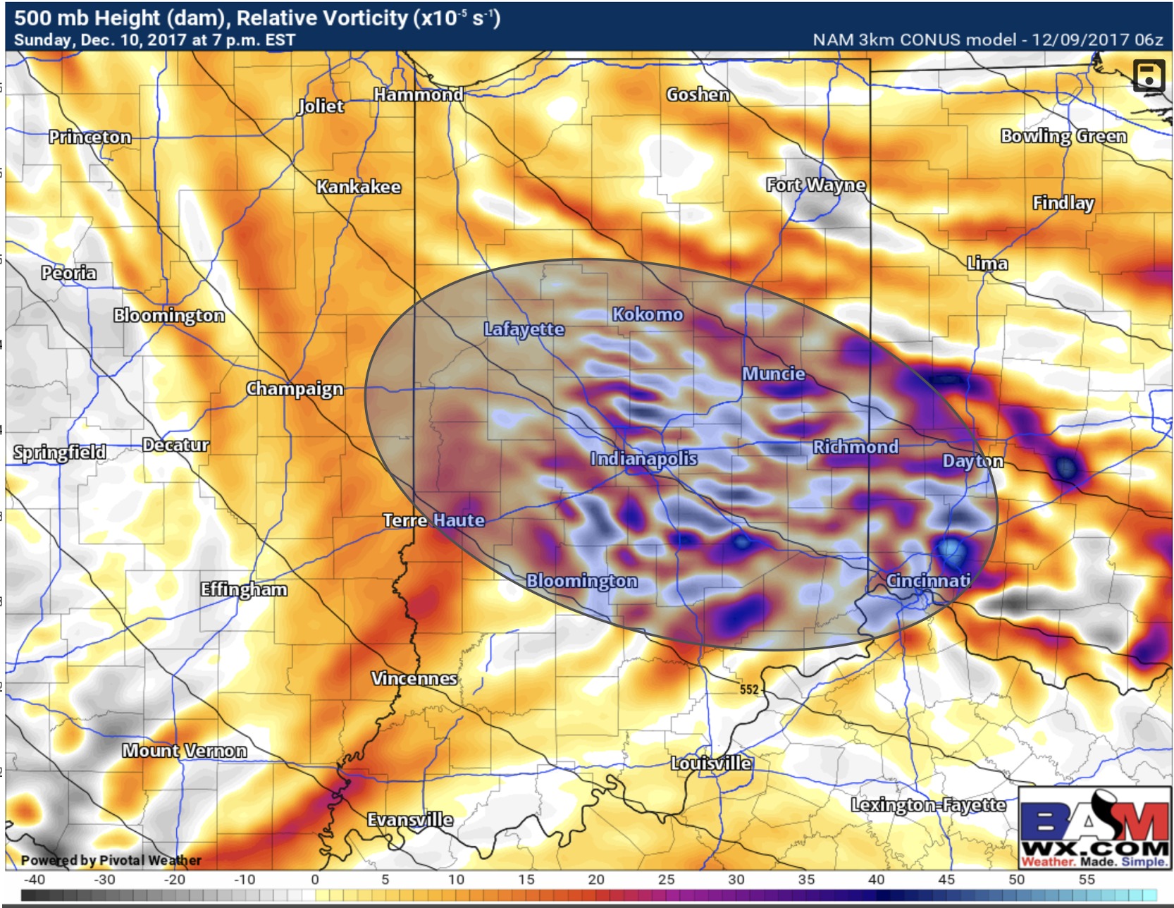
12-9-17 Forecast Update. Dry Air Issues. 2 More Snow Chances Sun/Mon. Latest details on this event in the video below. http://youtu.be/HlSRXQakdUk?hd=1 Whats becoming more interesting to me is the lake effect snow squalls possible this afternoon and this evening. 3-9pm is when I think there could be brief heavy snow…
Detailed analysis in the video below! Have a great evening, and let us know if you have any questions! Video: https://www.youtube.com/watch?v=u_Z2ncDWo3Y&feature=youtu.be&hd=1
Synopsis: Good Friday afternoon! Light snow will overspread the area from northwest to southeast 7-10am EST. Snow will be more concentrated over the northern half of the area, but most areas will see some snow showers work through. We continue to think most impacts are in the northern half of…
Synopsis: Good afternoon! Light snow will spread into the area between 4-8am, and the most widespread snow showers will continue through 10-11AM. The entire area will see light snow accumulation and the snow will stick with temperatures in the 20s as the snow moves in. Additional areas of flurries and…