Good afternoon everyone.
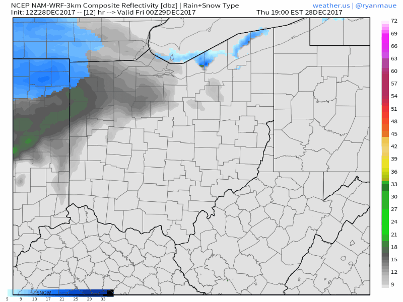
We are tracking a storm system that will produce accumulating snow tomorrow night into early Saturday. First, a disturbance currently producing snow in Illinois will weaken as it moves into drier air in Indiana and Ohio. However, the northern third of Ohio could see anywhere between a coating to a half an inch as this system moves through. Here’s a look at the simulated radar that shows the progression nicely through tomorrow morning. The majority of the snow falls in areas of northern Ohio with high relative humidity values in the lower atmosphere.
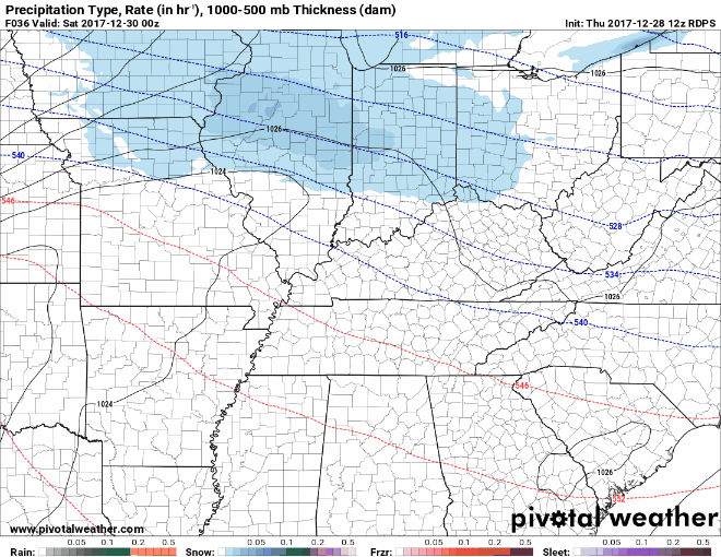
The next system will bring a better chance of accumulating snowfall throughout much of the state. A piece of solid piece of energy will dive into the Great Lakes and product a stout band of snow for much of the Ohio Valley tomorrow evening into Saturday Morning.
Here’s a look at the simulated radar. Snow will begin around 7 or 8PM tomorrow in Western Ohio and last into the mid-morning hours for Eastern Ohio.
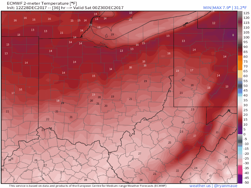
Temperatures throughout the event will hover in the teens for most of the state. This will allow for high snow to liquid ratios and very fluffy snow to fall. Temperatures will drop into the single digits and even below zero as skies clear by Saturday Night. This could make it difficult to clear snow from the roadways as pavements will refreeze quickly.
(Timing: 11PM FRI – 2AM SUN)
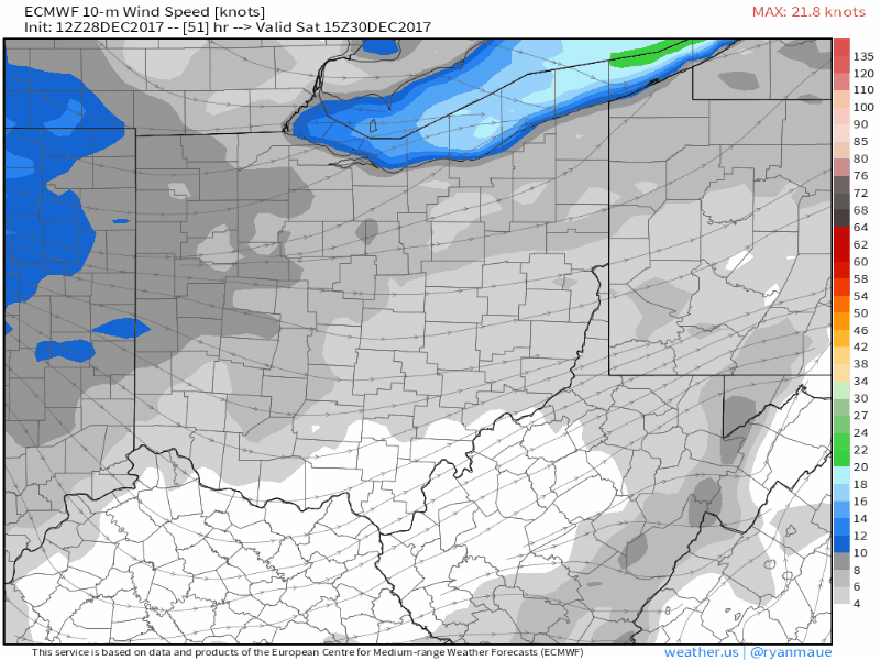
Winds will be light while snow is falling, but pick up to 10-20MPH as snow exits the area which could produce blowing snow on Saturday.
(Timing: 11AM SAT – 11PM SAT)
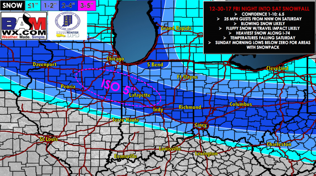
Given current trends and better model consensus, here is out most updated outlook for the area: